



CLEVELAND — Don't let your guard down overnight, as widespread rain and storms are expected after midnight until 8 or 9 am on Tuesday. The storms are coming from the north in Michigan and will push south over the next several hours.
Heavy rain will be the biggest concern, but strong to severe wind gusts and hail are also possible. Heavy rain could lead to flooding. Be extra careful on the roads overnight. It is always harder to see flooded roads.
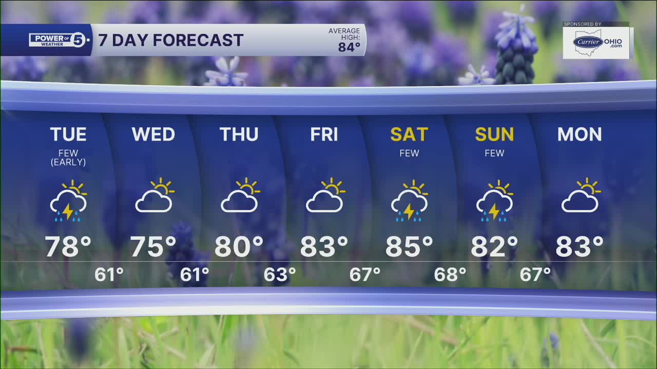
It will be a wet start to the day, but as the cold front slides away from NEO, it will gradually get drier as cooler and less humid air starts to settle in. The break from the heat will be noticeable. Highs drop into the 70s for a couple of days before the 80s make a comeback later this week. After a super soaker night, the rest of the workweek is looking dry! The next rain chance holds off until the weekend...but that is several days away.
Power of 5 Region Spotlight: All Regions
Heavy rain overnight will be a concern for all Power of 5 regions, including the Cleveland metro, the Akron-Canton metro, the snowbelt, the south, and the west.
DAILY FORECAST:
Monday Night: Widespread rain and storms. Some could be strong. | High: 89º
Tuesday: Morning rain/storm. Cooler, but still humid. | High: 77º
Wednesday: Drier and breezy. Below average. | High: 75º
Thursday: Partly cloudy. Touch warmer. | High: 80º
Friday: Partly cloudy. Seasonable. | High: 83º
Saturday: More clouds. Shower possible. | High: 85º
Want the latest Power of 5 weather team updates wherever you go? Download the News 5 App free now: Apple|Android
Click here to view our interactive radar.
Follow the News 5 Weather Team:
Trent Magill: Facebook & Twitter
Katie McGraw: Facebook & Twitter
Phil Sakal: Facebook & Twitter
Allan Nosoff: Facebook & Twitter
