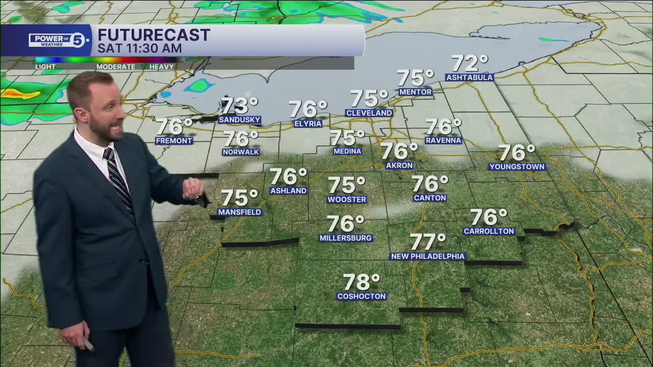


CLEVELAND — More clouds will be with us on Saturday, along with an isolated rain chance. This will mostly be in the afternoon and will be light. Models are not suggesting any real substantial totals across the region. So you'll need to keep watering the garden. Temperatures will once again top off in the upper 70s and lower 80s to begin the weekend.
Aside from Saturday's rain chance, which some will be dry all weekend, there is no rain on the horizon for the next seven days. The worsening drought situation will continue with no significant changes on that front. For more on the drought's impact and forecast, check Katie's update out here: https://www.news5cleveland.com/weather/weather-news/how-will-the-worsening-drought-affect-fall-foliage
DAILY FORECAST:
Saturday: Partly sunny and a touch warmer. PM/Evening isolated showers are possible.| High: 78º
Sunday: Seasonable. Partly sunny. | High: 79º
Monday: Dry & warmer. | High: 81º
Tuesday: Bright & warm. | High: 81º
Want the latest Power of 5 weather team updates wherever you go? Download the News 5 App free now: Apple|Android
Click here to view our interactive radar.
Follow the News 5 Weather Team:
Trent Magill: Facebook & Twitter
Katie McGraw: Facebook & Twitter
Phil Sakal: Facebook & Twitter
Allan Nosoff: Facebook & Twitter
