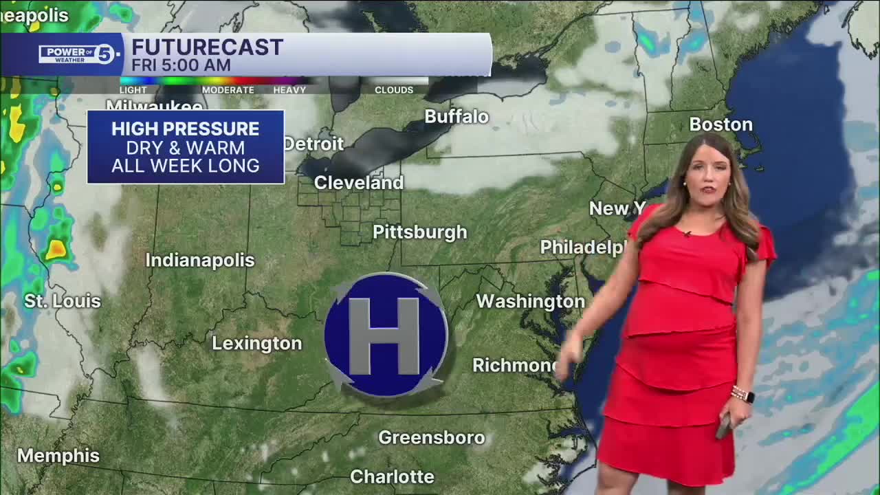


CLEVELAND — Plan for a quiet night with mostly clear skies and slightly warmer temperatures compared to last night. Lows will be in the low 60s to mid-50s across NEO. Some patchy fog is possible overnight and early on Friday.
More of the same is expected weather-wise across NEO Friday afternoon. Following a very weak and dry cold front, temperatures will be a couple of degrees cooler tomorrow, especially in our northernmost communities. Mid to upper 70s are expected along the lakeshore, but 80s will still be common farther inland.
It has been two weeks with NO measurable rain at Cleveland's Hopkins Airport, and that looks to continue for Friday and most of the weekend. This is one of the driest starts to September in years. Since September 1st...
- CLE has only picked up 0.23 inches of rain
- Akron has only picked up a tenth of an inch
- And Mansfield has only received 0.03 inches
Rain chances will return for the first time in weeks this weekend. Most of this weekend will still be dry and cooperate for outdoor plans; in fact, most will not see any rain until the sun goes down Sunday, but the rain that is expected to move in will be the start of a pattern change. More unsettled weather and near-daily rain chances are expected next week. The best chance for rain looks to occur on Monday and early Tuesday. There could even be periods of heavy rain, and while we need rainfall as drought continues to worsen, we also do not want too much rain too fast.
The Power of 5 team will keep you posted on specific details about the timing of rain and how much rain we can expect next week in the days to come.
DAILY FORECAST:
Tonight: Mostly clear & cool. | Low: 58º
Friday: A few more clouds. Cooler lakeside.| High: 77º
Saturday: Partly to mostly sunny. Warm. | High: 78º
Sunday: Sun to clouds. Hot and humid. Storms at night. | High: 85º
Monday: Rain likely. Thunderstorms possible. A bit cooler. | High: 80º
Tuesday: Scattered showers and storms possible. Mostly cloudy.| High: 79º
Want the latest Power of 5 weather team updates wherever you go? Download the News 5 App free now: Apple|Android
Click here to view our interactive radar.
Follow the News 5 Weather Team:
Trent Magill: Facebook & Twitter
Katie McGraw: Facebook & Twitter
Phil Sakal: Facebook & Twitter
Allan Nosoff: Facebook & Twitter
