


CLEVELAND — Today was beautiful! Seasonably cool, sunny, and breezy. We'll do the same thing on Tuesday! It will be a frigid morning with highs in the upper 50s and low 60s, with easterly winds around 15 mph, but gusts over 25 mph will be possible. We stay dry all day on Tuesday...so that's an early week treat!
The "tricks" come in the middle of the week. Plan for rain to return by Wednesday evening, widespread & heavier rain on Thursday, and lighter showers will linger into Halloween. There may even be a few more showers this weekend.
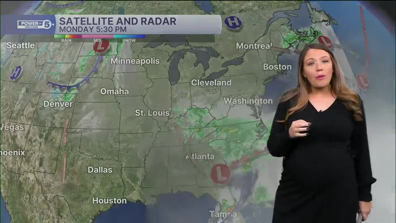
We will be sure to keep you posted on the latest trends and potential lake-effect precipitation after the storm on Halloween, so be sure to check back or tune in. As of Monday night, plan for light, although pesky showers and chilly temperatures for Halloween. The highs on Friday look to only be in the low 50s. That means by the time all the witches and ghosts are out trick-or-treating, it will be even cooler.
DAILY FORECAST:
Monday Night: Mostly clear, breezy, and chilled. | Low: 40º
Tuesday: More clouds, still dry. | High: 59º
Wednesday: Rain possible late. More clouds. | High: 54º
Thursday: Rain likely. Breezy. Watching closely. | High: 51º
Halloween: Rain tapering to showers, possible lake-enhanced rain. Cool. | High: 50º
Saturday: Lake-effect possible. Chilly. | High: 49º
Want the latest Power of 5 weather team updates wherever you go? Download the News 5 App free now: Apple|Android
Click here to view our interactive radar.
Follow the News 5 Weather Team:
Trent Magill: Facebook & Twitter
Katie McGraw: Facebook & Twitter
Phil Sakal: Facebook & Twitter
Allan Nosoff: Facebook & Twitter
