



CLEVELAND — Areas of fog will begin to develop after midnight into the early morning on Wednesday, as temperatures bottom out in the mid to upper 60s. Dense fog will be possible.
After some lingering fog during the morning on Wednesday, more sunshine and warmer temperatures will move in for Wednesday afternoon.
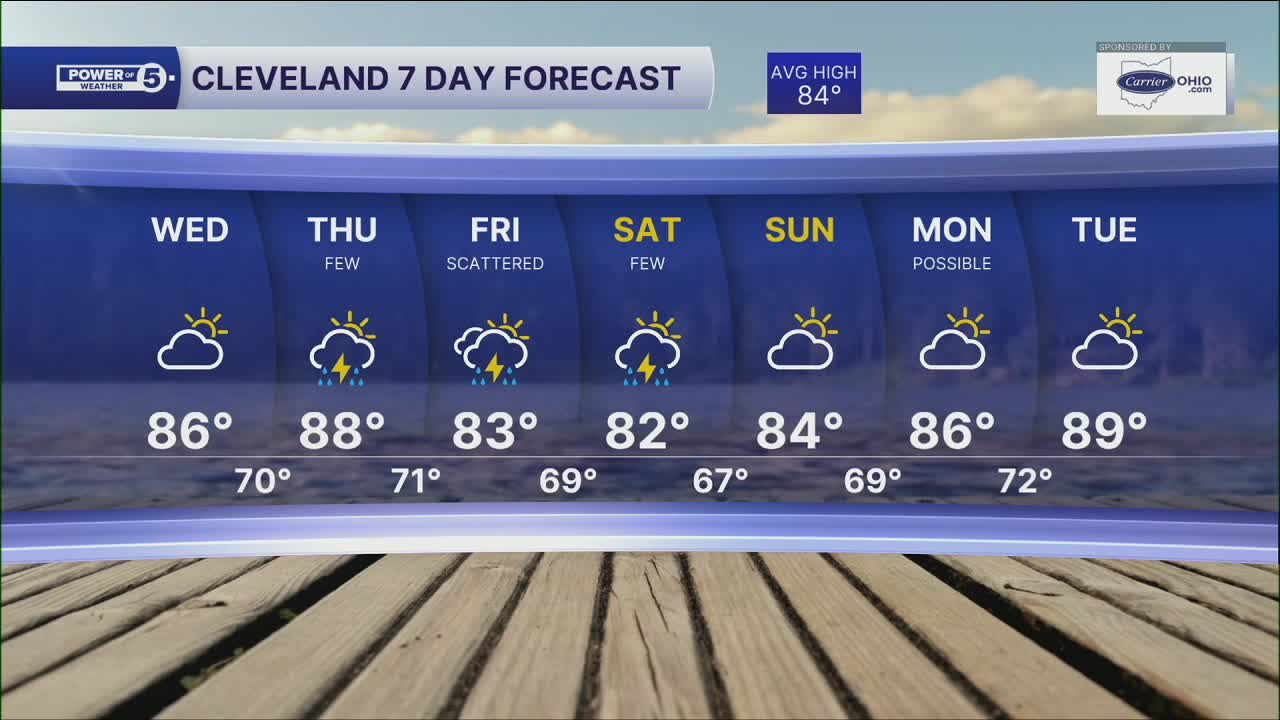
Highs reach the middle 80s for most, but a few areas will top off in the upper 80s on Wednesday. It will be muggy once again, so it will feel a touch warmer with the heat index during peak heating. Dry weather is expected to dominate, making it the pick of the week for outdoor plans.
The dry stretch won't last forever. A few showers and thunder will begin trying to move back into NEO Thursday afternoon, but the better chance for scattered rainfall arrives Friday as our next weather system approaches the Great Lakes.
DAILY FORECAST:
Wednesday: Patchy AM Fog. Warmer and Still Muggy. | High: 86º
Thursday: Few PM t-storms. Hot & humid. | High: 88º
Friday: Scattered storms. Warm & muggy. | High: 83º
Saturday: A few lingering t-showers. | High: 82º
Sunday: Partly cloudy & warm. | High: 84º
Sunday: Possible t'storm. Seasonable. | High: 86º
Want the latest Power of 5 weather team updates wherever you go? Download the News 5 App free now: Apple|Android
Click here to view our interactive radar.
Follow the News 5 Weather Team:
Trent Magill: Facebook & Twitter
Katie McGraw: Facebook & Twitter
Phil Sakal: Facebook & Twitter
Allan Nosoff: Facebook & Twitter
