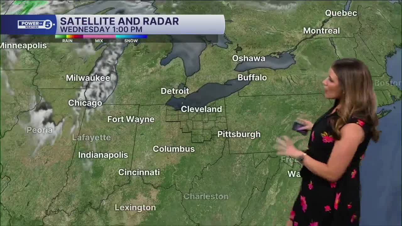


CLEVELAND — It hasn't rained in Cleveland since May 25th! And we remain dry for the rest of the work week. Overnight will be quiet, calm, and comfortable. Crack the windows for some free AC! Lows will be in the 50s for much of NEO, likely a couple of degrees warmer than early Wednesday morning. That trend of slowly warming temperatures will continue over the next few days. Plan for 80s on Thursday and Friday, and the humidity will be climbing as well, so it will feel stickier!
Our next best shot at rain isn't here until the weekend. Saturday isn't looking like a washout by any means, but scattered storms are likely. We'll have to keep an eye on it for timing and intensity. For now, make sure you have a backup plan for any outdoor activities on Saturday.
Until then, get outside! Don't forget the sunscreen, extra water, and remember to take breaks. Humidity is still VERY low, so it's not unbearable, but by Friday, we'll notice the sweat. Humidity is creeping up as we get closer to the weekend's rain chances.
DAILY FORECAST:
Thursday: Mostly sunny and slightly warmer.| High: 83º
Friday: Warmer & humid. Still dry!| High: 87º
Saturday: Warm, humid with scattered storms.| High: 82º
Sunday: Few storms. Muggy.| High: 75º
Want the latest Power of 5 weather team updates wherever you go? Download the News 5 App free now: Apple|Android
Click here to view our interactive radar.
Follow the News 5 Weather Team:
Trent Magill: Facebook & Twitter
Katie McGraw: Facebook & Twitter
Phil Sakal: Facebook & Twitter
Allan Nosoff: Facebook & Twitter
