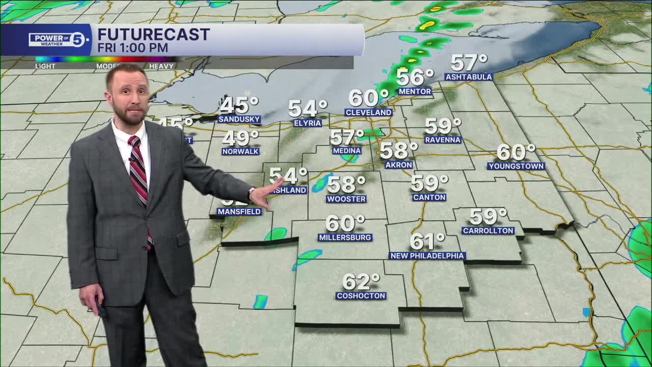


CLEVELAND — Plan on waves of downpours Friday morning through midday. We dry out for the afternoon, but we will see much colder temperatures through the afternoon and evening on Friday. Daytime highs on Friday will be around 60º, but that happens midday before we dry out and drop into the 40s and 30s by Friday evening. Winds will remain stronger, with 35 to 45+ mph gusts, especially during the late morning through the afternoon.
Winds will begin to subside during the evening on Friday. Otherwise, it will be chilly and mostly dry late Friday into Saturday morning. Round 2 comes through during the second half of your Saturday.
Plan on 40s and another round of rain Saturday afternoon/evening. That's followed by an even bigger drop. I'm talking 20s/30s Sunday with a few snow showers.
DAILY FORECAST:
Friday: Warm and wet with heavy rain likely early in the day. Breezy. | High: 61º
Saturday: Scattered rain and cooler. Breezy. | High: 44º
Sunday: Much colder. Few snow showers. | High: 29º
Monday: Mostly cloudy. Seasonable. | High: 39º
Tuesday: Mostly cloudy. Seasonable. | High: 38º
Want the latest Power of 5 weather team updates wherever you go? Download the News 5 App free now: Apple|Android
Click here to view our interactive radar.
Follow the News 5 Weather Team:
Trent Magill: Facebook & Twitter
Katie McGraw: Facebook & Twitter
Phil Sakal: Facebook & Twitter
Allan Nosoff: Facebook & Twitter
