

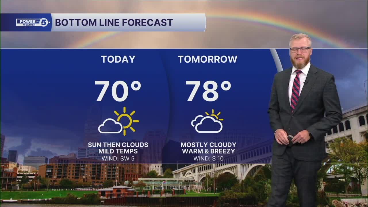


CLEVELAND — Sunshine starts the day Friday with a cool feel and temps in the 40s for many spots. High clouds will gradually increase this afternoon as moisture from the remnants of Isaias spreads north, but it stays dry with highs near 70.
Clouds continue to increase Saturday, but it will actually be warmer. Highs climb into the upper 70s and most of the day stays rain-free. If you have outdoor plans, you're in good shape through the daylight hours.
Rain holds off until late Saturday night, then the weather takes a dramatic turn Sunday.
Steady rain will overspread Northeast Ohio before sunrise and continue through much of the day. At times, the rain could be heavy, with widespread totals of 1 to 2 inches expected by the time the system pulls away.
That much rain falling in a relatively short period could lead to localized flooding, especially in low-lying and poor-drainage areas. Keep that in mind if you're traveling Sunday or have outdoor events planned.
The bottom line: Saturday is the better weekend day. Sunday looks soaked from start to finish with periods of heavy rain and potential flooding concerns.
Power of 5 Regions Highlight: South Region
Keep an eye on the South Region this weekend because rain is expected to arrive here first.
Most of Saturday stays dry, and with highs pushing the upper 70s, it's not a bad day to squeeze in some fall activities. Clouds will thicken through the day, though, and counties south of Rt. 30 will likely be the first to see rain LATE Saturday night.
Once the rain starts, it settles in for Sunday. Expect a steady rain for much of the day, with periods of heavier downpours possible. Rainfall totals of 1 to 2 inches could lead to localized flooding, especially in low-lying and poor-drainage areas.
If you have outdoor plans in the South Region, Saturday is the day to get them done. Sunday looks wet from start to finish.
5-Day Forecast:
Friday: Partly sunny. Mild. | High: 71º
Saturday: Super warm! Still dry. | High: 78º
Sunday: Soaked from the remnants of Isaias. | High: 65º
Monday: Trying to dry out.| High: 71º
Tuesday: A few t-showers. | High: 73º
Learn the lingo: The Power of 5 Weather Team wants to get you your forecast closer to home. We have broken NEO into 5 separate and distinct regions. Find your region to get your hyper-local forecast!
- Cleveland Metro Region: Cuyahoga County. This region includes cities such as Cleveland, Parma, Westlake, Berea, Strongsville, Independence, Solon, Beachwood, and Euclid.
- Snowbelt Region: Lake, Geauga, and Ashtabula Counties. This includes cities such as Mentor, Geneva, Ashtabula, Bainbridge, Chardon, Burton, and Orwell.
- Akron-Canton Region: Summit, Stark, and Portage Counties. This region includes cities such as Akron, Canton, Hudson, Ravenna, Mantua, Alliance, and Canal Fulton.
- West Region: Lorain, Medina, Erie, Huron, Richland, and Ashland Counties. This region includes cities such as Lorain, Wellington, Medina, Lodi, Ashland, Mansfield, Willard, and Sandusky.
- South Region: Wayne, Holmes, Tuscarawas, Carroll Counties. This region includes Wooster, Millersburg, New Philadelphia, Strasburg, Mineral City, Carrollton, and Newcomerstown
You can send us photos and short videos by filling out the form below:
Want the latest Power of 5 weather team updates wherever you go? Download the News 5 App free now: Apple|Android
Click here to view our interactive radar.
Follow the News 5 Weather Team:
Trent Magill: Facebook & Twitter
Katie McGraw: Facebook & Twitter
Phil Sakal: Facebook & Twitter
Allan Nosoff: Facebook & Twitter
