


CLEVELAND — Get ready for a wet Wednesday!
Overnight will be quiet, calm, and cloudy, with cool but not cold temperatures. Lows are expected to be in the upper 40s and low 50s.
As low pressure approaches NEO, rain chances will return by tomorrow morning. Plan for isolated showers to start around sunrise, but by mid to late morning, widespread showers are expected. Severe weather is not expected, but the rain could be heavy at times. Rain is likely until mid to late afternoon. Rainfall totals are expected to be 0.25 to 0.75 inches by the end of Wednesday. Winds will become northerly and pick up by the afternoon with gusts over 30 mph at times.
As widespread showers move away from NEO, so will the warmth! Highs on Wednesday will be in the 50s, but falling into the 40s throughout the day. We will remain way below average for this time of year for the rest of the week. That includes frosty mornings! Just for the record, our average last frost isn't until early/mid May. So hold off planting that garden until after Mother's Day or so.
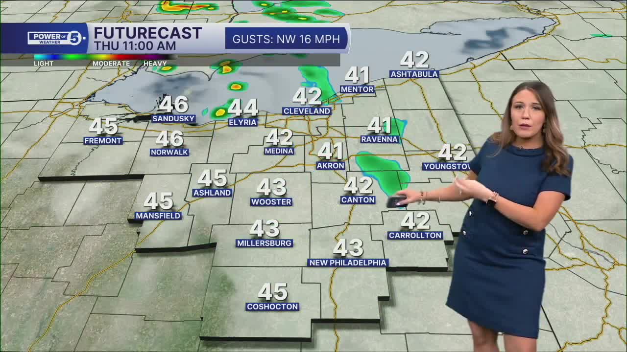
A few spotty showers will continue to be possible on Thursday and Friday. This weekend looks primarily dry, though with chilly temperatures.
DAILY FORECAST:
Tonight: Cloudy and cool. | Low: 50º
Wednesday: Cool, wet & windy. | High: 57º
Thursday: Isolated shower. More clouds and cooler. | High: 53º
Friday: Few showers. Chilly. | High: 49º
Saturday: Mostly cloudy. Showers possible. Cool. | High: 49º
Want the latest Power of 5 weather team updates wherever you go? Download the News 5 App free now: Apple|Android
Click here to view our interactive radar.
Follow the News 5 Weather Team:
Trent Magill: Facebook & Twitter
Katie McGraw: Facebook & Twitter
Phil Sakal: Facebook & Twitter
Allan Nosoff: Facebook & Twitter
