


CLEVELAND — It's feeling much more like June, rather than mid-April across Northeast Ohio, but we will have to dodge rounds of storms.
Waves of storms will continue for much of this week. Each round will dictate how the next wave unfolds. Wednesday looks to be the most active day this week for storm coverage.
They'll likely be the strongest and most widespread we see all week.
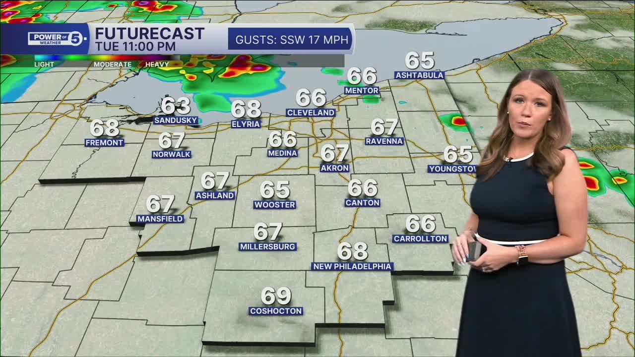
We've already seen three rounds of storms on Tuesday, and two more waves are expected on Wednesday.
- Rain & storms will be sliding in from the north during the wee hours of Wednesday morning. These storms look to weaken as they move inland.
- Another line of storms is expected during the afternoon and evening on Wednesday.
We will be watching for severe storms. Heavy rain and damaging winds will be possible, but isolated hail and even an isolated tornado will be possible.
After that, plan for a similar story for Thursday with additional storms expected that could also be strong.
We dry up on Friday...and that is the pick of the week because MORE storms that could be strong or severe roll through Saturday afternoon and evening.
Those storms will be ahead of a cold front that will usher in much colder temperatures by Sunday. A stray flake could even be possible on Sunday and Monday!
DAILY FORECAST:
Tuesday Night: A few evening storms. More rain/storms arrive overnight.| Low: 65°
Wednesday: More widespread storms, coming in waves.| High: 76°
Thursday: More storms are possible. | High: 75°
Friday: Drying out early. | High: 70º
Saturday: More heat, more humidity, more storms, more severe potential. | High: 80º
Sunday: Temps crash, stray flakes. | High: 47º
Want the latest Power of 5 weather team updates wherever you go? Download the News 5 App free now: Apple|Android
Click here to view our interactive radar.
Follow the News 5 Weather Team:
Trent Magill: Facebook & Twitter
Katie McGraw: Facebook & Twitter
Phil Sakal: Facebook & Twitter
Allan Nosoff: Facebook & Twitter
