



CLEVELAND —
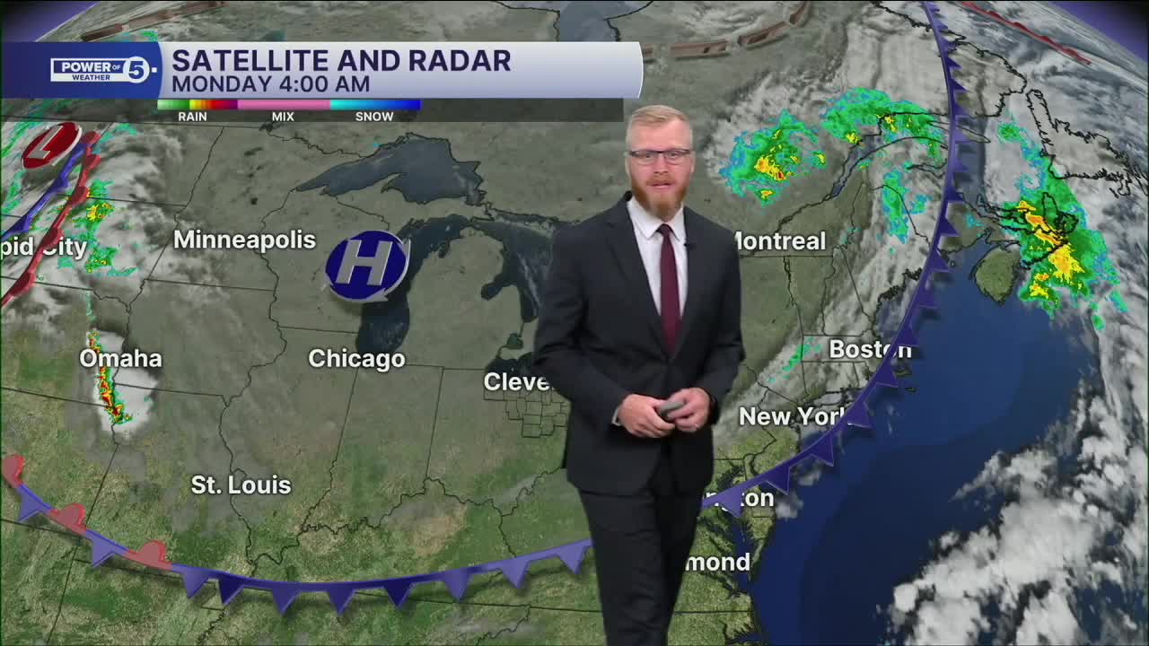
The Power of 5 Forecast:
After a long stretch of summer warmth, Northeast Ohio finally gets a taste of fall. Briefly!
Sunshine will be hard to beat today, but temperatures won't make it out of the 60s. Cleveland is expected to top out around 69 degrees, marking the first day we don't see 70 since July 22.
The cooler air comes with much lower humidity, making it feel comfortable from start to finish. Many communities woke up in the 50s this morning, and tonight could be even cooler. A few of the colder inland spots may try to sneak into the 40s by daybreak Tuesday, while most of the area settles into the 50s.
If you've been waiting for open-window weather, this is it.
The fall feel won't last long, though.
After a chilly start Tuesday morning, temperatures quickly rebound. Highs return to the 80s Tuesday afternoon and stay there for much of the week. Humidity will gradually creep back up as well.
Along with the warmer air comes the next chance for rain and storms. The best opportunity for scattered thunderstorms arrives Wednesday into Thursday before drier weather tries to return later in the week.
Power of 5 Regions Highlight: Snowbelt Region:
The Snowbelt gets today's spotlight, and it's all about the cool-down.
While everyone enjoys sunshine and low humidity, the biggest weather story arrives after sunset. Temperatures will fall quickly tonight, with most of the Snowbelt dropping well into the 50s by Tuesday morning.
Some of the colder inland valleys of Geauga and Ashtabula counties could even flirt with the upper 40s by daybreak. It's our coolest night in quite some time and the strongest reminder yet that fall is knocking on the door.
5-Day Forecast
Monday: Mostly sunny but super cool. | High: 69º
Tuesday: The heat is back! Storms holding off. | High: 82º
Wednesday: Humid with a few storms. | High: 84º
Thursday: Scattered Storms. | High: 83º
Friday: Cooler. Isolated showers. | High: 76º
Learn the lingo: The Power of 5 Weather Team wants to get you your forecast closer to home. We have broken NEO into 5 separate and distinct regions. Find your region to get your hyper-local forecast!
- Cleveland Metro Region: Cuyahoga County. This region includes cities such as Cleveland, Parma, Westlake, Berea, Strongsville, Independence, Solon, Beachwood, and Euclid.
- Snowbelt Region: Lake, Geauga, and Ashtabula Counties. This includes cities such as Mentor, Geneva, Ashtabula, Bainbridge, Chardon, Burton, and Orwell.
- Akron-Canton Region: Summit, Stark, and Portage Counties. This region includes cities such as Akron, Canton, Hudson, Ravenna, Mantua, Alliance, and Canal Fulton.
- West Region: Lorain, Medina, Erie, Huron, Richland, and Ashland Counties. This region includes cities such as Lorain, Wellington, Medina, Lodi, Ashland, Mansfield, Willard, and Sandusky.
- South Region: Wayne, Holmes, Tuscarawas, Carroll Counties. This region includes Wooster, Millersburg, New Philadelphia, Strasburg, Mineral City, Carrollton, and Newcomerstown
You can send us photos and short videos by filling out the form below:
Want the latest Power of 5 weather team updates wherever you go? Download the News 5 App free now: Apple|Android
Click here to view our interactive radar.
Follow the News 5 Weather Team:
Trent Magill: Facebook & Twitter
Katie McGraw: Facebook & Twitter
Phil Sakal: Facebook & Twitter
Allan Nosoff: Facebook & Twitter
