

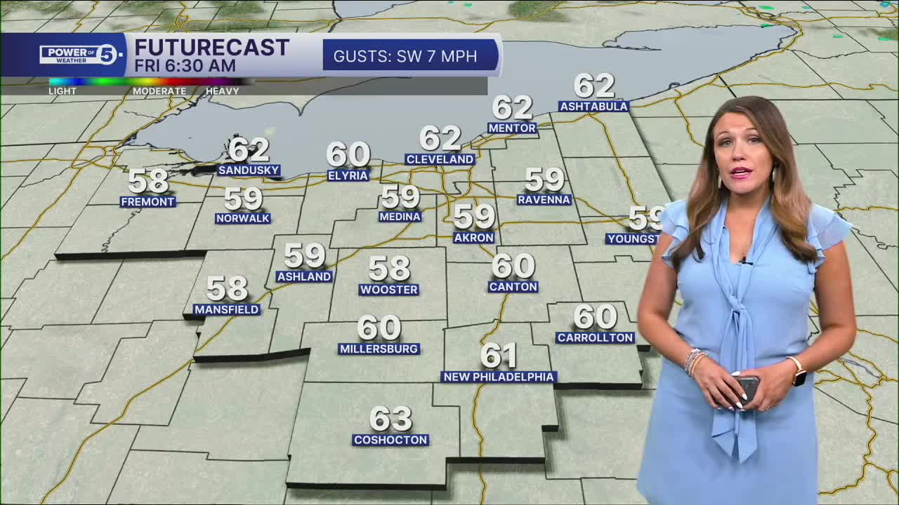


CLEVELAND — After a few strong and severe storms on Thursday afternoon, the rest of tonight will be much quieter and calmer. A few stray showers cannot be ruled out, but the severe threat has ended for the night. It will be mild and humid with mostly cloudy skies and predominantly dry into Friday morning.
However, another system aims NEO from the SW by Friday afternoon. How far north and east the rain goes Friday evening into Saturday is the big question. The farther south you live, the better chance you have of seeing rain on Friday and Saturday. Repeated rounds of heavy rain could lead to flooding.
The best chance for rain this weekend will be on Saturday morning and early afternoon. The heaviest rainfall looks to continue to favor our southern communities. Cannot keep the forecast for Sunday completely dry, but it looks isolated and lighter.
Then once we head into next week, the heat begins to build! The upper 80s and lower 90s are looking more likely from Monday through the middle of next week, along with much more noticeable humidity. High heat + high humidity = it will feel even hotter! Get ready to sweat!
DAILY FORECAST:
Thursday Night: Couple of t-showers, mainly dry overnight. Low: 62º
Friday: Scattered PM thunderstorms. High: 76º
Saturday: Scattered storms. Especially early and south. Muggy. High: 78º
Sunday: Isolated rain. More seasonable. Muggy. High: 81º
Monday: Possible storm. Warmer and muggy. High: 86º
Tuesday: Isolated storms. Hot & humid. High: 90º
Want the latest Power of 5 weather team updates wherever you go? Download the News 5 App free now: Apple|Android
Click here to view our interactive radar.
Follow the News 5 Weather Team:
Trent Magill: Facebook & Twitter
Katie McGraw: Facebook & Twitter
Phil Sakal: Facebook & Twitter
Allan Nosoff: Facebook & Twitter
