


CLEVELAND — More clouds and chilly temperatures on the way this evening, but winds will subside. So plan on keeping the jackets handy as you're out this evening and overnight, with temperatures in the 30s for most across NEO.
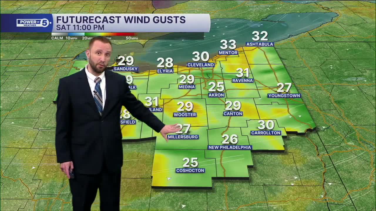
Clouds and chilly temps linger into Saturday morning, but we'll need those umbrellas by lunch time through the evening as a second area of low pressure moves in from the south. This will bring more rain showers, but a few flakes could mix in, especially Saturday evening and overnight. Temperatures will be slightly above average, but much colder, as most areas see low to mid 40s Saturday afternoon.
A bigger drop in temperatures will begin to move in Saturday into the second half of the weekend. I'm talking 20s/30s Sunday with a few snow showers. Accumulations will be light, with most seeing under an inch.
DAILY FORECAST:
Saturday: Scattered PM rain and cooler. Breezy & Chilly. | High: 42º
Sunday: Much colder. Few snow showers. | High: 29º
Monday: Mostly cloudy. Seasonable. | High: 39º
Tuesday: Mostly cloudy. Seasonable. | High: 38º
Want the latest Power of 5 weather team updates wherever you go? Download the News 5 App free now: Apple|Android
Click here to view our interactive radar.
Follow the News 5 Weather Team:
Trent Magill: Facebook & Twitter
Katie McGraw: Facebook & Twitter
Phil Sakal: Facebook & Twitter
Allan Nosoff: Facebook & Twitter
