


CLEVELAND — A few strong storms developed Thursday afternoon, but as the sun sets, the storms will fade. Overnight will be quiet with calm winds and temperatures in the 50s.
We warm up even more on Friday. Highs are expected to be on either side of 80 degrees! But there is a much better chance for rain, for the entire News 5 viewing area. Have the umbrellas handy, especially for Friday night plans.
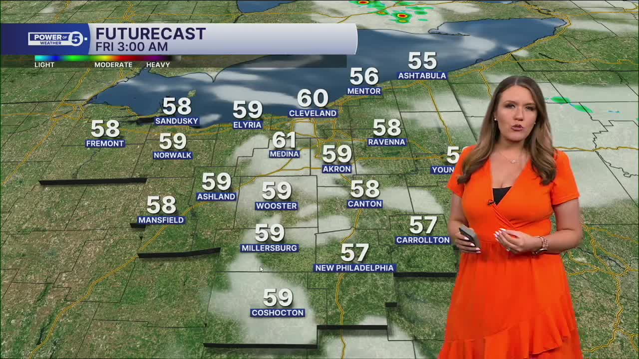
We cannot rule out a couple of hit-or-miss daytime storms on Friday, but the much better chance holds off until after sunset. Storms will move into western Ohio and will spread areawide from west to east. There is a chance for a few strong or severe storms in our western communities, with the main threat being damaging straight-line winds. The storms will weaken as they continue moving east.
The rain should clear out pretty early on Saturday, and most of the weekend looks dry, but cooler. Highs will likely happen early on Saturday, in the 60s. Once the cold front slides through, temperatures will struggle on Saturday, especially if you live farther north. Some communities may get stuck in the 40s closer to the lake! It will be milder for longer inland. Temperatures should increase a touch on Sunday.
Another chance for storms returns early next week. Current timing brings storms in late Monday into early Tuesday.
DAILY FORECAST:
Friday: Very warm & windy with storms by sunset. | High: 79º
Saturday: Showers early with falling temps. | High: 60º—> into low 50s and 40s
Sunday: Partly cloudy and dry. | High: 58º
Monday: Scattered storms return late. Warming up. | High: 72º
Tuesday: Few showers. Cooler again. | High: 65º
Wednesday: Partly sunny and cooler. | High: 60º
Want the latest Power of 5 weather team updates wherever you go? Download the News 5 App free now: Apple|Android
Click here to view our interactive radar.
Follow the News 5 Weather Team:
Trent Magill: Facebook & Twitter
Katie McGraw: Facebook & Twitter
Phil Sakal: Facebook & Twitter
Allan Nosoff: Facebook & Twitter
