


The thunderstorms that slammed Northeast Ohio early Saturday morning and again Saturday afternoon have caused major power outages as well as damage to homes and businesses.
Power outages
There are over 50,000 FirstEnergy customers without power in Northeast Ohio as of Saturday afternoon, according to the company's outage website.
RELATED: Over 50,000 FirstEnergy customers without power in Northeast Ohio following severe storms

According to the Barberton Police Department, the station is without power and currently on a backup generator, however, 911 is fully functional. The station is dealing with numerous calls of lines down.
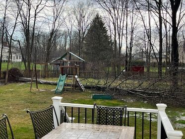
Damage
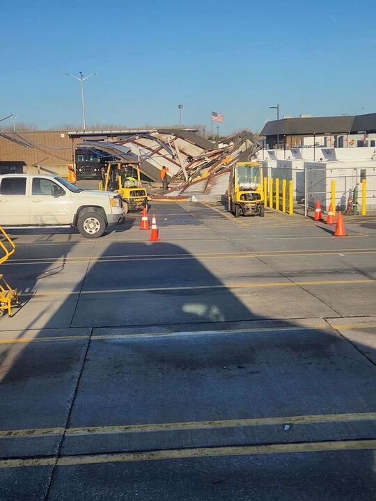
A UPS in Middleburg Heights had its roof blown off, according to the Middleburg Heights Fire Department. Crews responded to a call from UPS for a gas leak as a result of the roof being blown off due to the storm. Upon arrival, there was a strong odor of gas that dissipated once the supply was shut off.
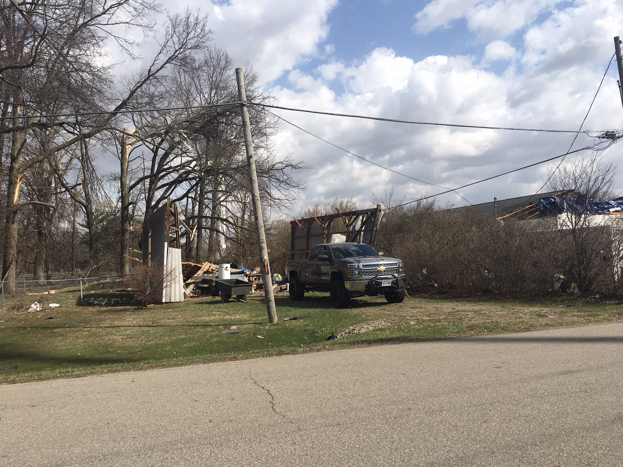
Wind damage in Mansfield caused damage to a car and several buildings.

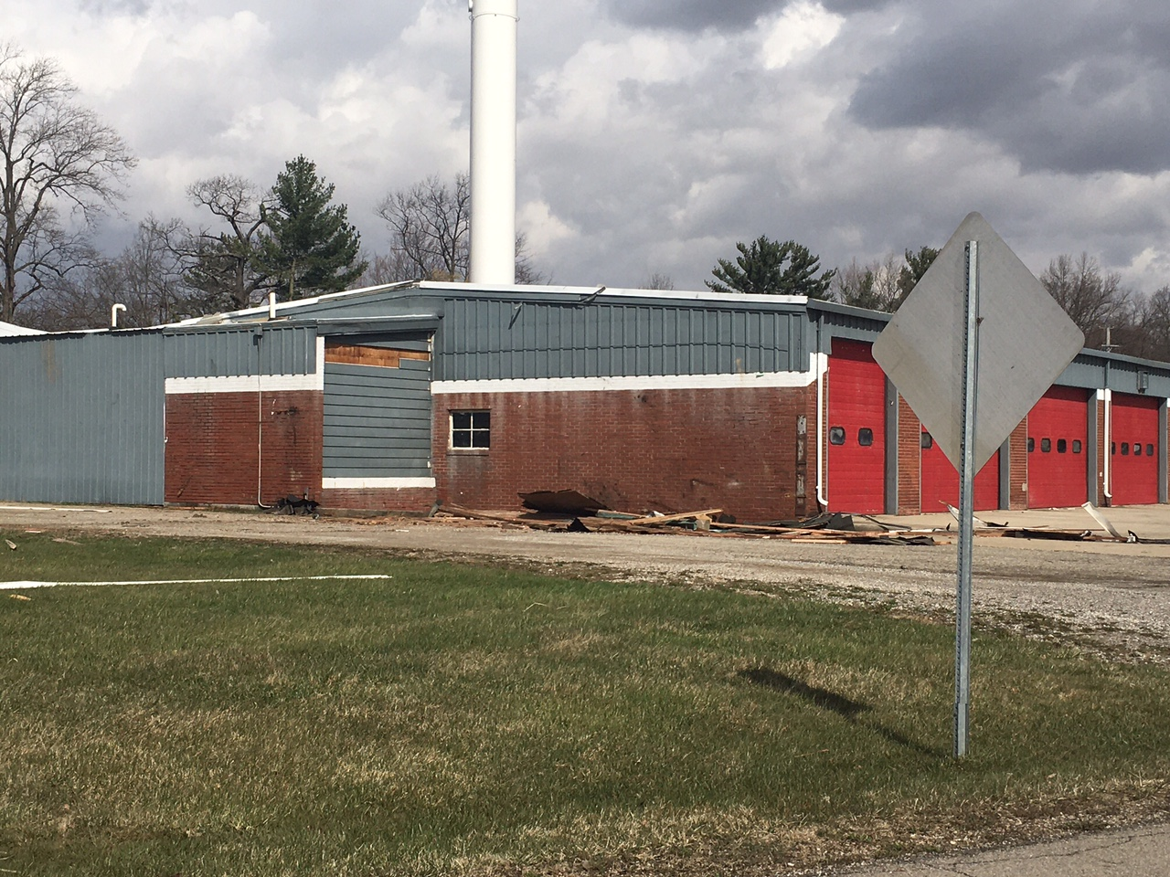
According to the National Weather Service, a piece of a roof blew off a building and damaged several vehicles in a parking lot in Willowick.
There have been several reports of fallen trees like this one seen on Bassett and Detroit Roads in Westlake.

And this one in North Royalton.
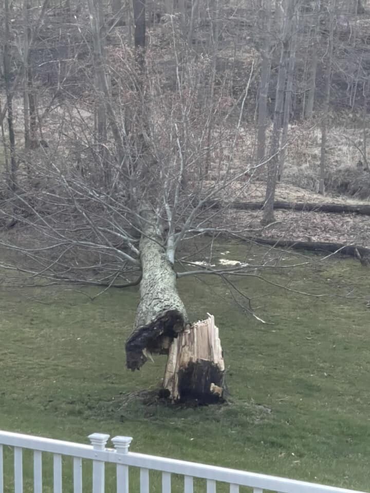
And this one in Hudson.
Thunderstorm watch
A Severe Thunderstorm Watch was issued for many communities along and east of I-71 including Downtown Cleveland late Saturday morning. The worst of the storms was over as of mid-afternoon Saturday as the storms shift east.

WATCH: Meteorologist Phil Sakal gives an update live Saturday afternoon:
Windy Weekend
A Wind Advisory has been issued for all of our counties from Saturday morning through Saturday evening (8 a.m. to 8 p.m.) for gusty non-thunderstorm winds as a massive storm system moves through the Great Lakes. Plan for southwest winds of 20 to 30 mph with gusts up to 50 mph. It's a similar scenario to last Saturday (although winds do look to be weaker than last Saturday). Use extra caution when driving, especially if operating a high-profile vehicle. Secure outdoor objects.

Timing
Plan for the strongest winds during the afternoon. Winds will decrease tonight and into Sunday morning. One round of severe storms already moved through Northeast Ohio on Friday evening and early Saturday morning (from about 10 p.m. to 5 a.m.). Wind gusts over 60 mph were reported along with a few reports of trees downed and damage to property.

Severe Threat
Plan for gusty winds all day today. There is a risk posted for much of the viewing area, particularly to the east of I-71. The threat of severe storms increases the farther east you live. Additionally, a brief and isolated tornado is not off the table either. Be sure to have your severe weather plan in place for this afternoon.

The area in yellow is a slight risk for severe weather and is a level 2 out of 5. This risk includes Cleveland, Akron, Canton, New Philly, Mentor, Ashtabula, and Youngstown in Ohio. A slight risk for severe weather means scattered strong to severe storms are possible. Communities farther to the west, including Lorain, Wooster, and Ashland have a marginal risk for severe weather, posted. This is a level 1/5. It means isolated strong to severe storms are possible, but there is a greater potential farther east.

Want the latest Power of 5 weather team updates wherever you go? Download the News 5 App free now: Apple|Android
Download the StormShield app for weather alerts on your iOS and Android device: Apple|Android
Click here to view our interactive radar.
Read and watch the latest Power of 5 forecast here.
Follow the News 5 Weather Team:
Mark Johnson: Facebook & Twitter
Trent Magill: Facebook & Twitter
