


CLEVELAND — There's a chance for severe weather today across Northeast Ohio.
Watches and Warnings
All severe weather warnings for Northeast Ohio counties have expired as of 9 p.m.
CLICK HERE to see the list of severe weather watches, warnings, and other weather alerts from the NWS that are currently active in our area.
Radar
View the current Power of 5 Weather Radar below:
Power outages
Visit our Power Outage page to find links to see current power outages in Northeast Ohio and to report a power outage.
Traffic impacts
View our News 5 Traffic Map to see any road closures or delays due to the weather or crashes from the weather.
Storm photos
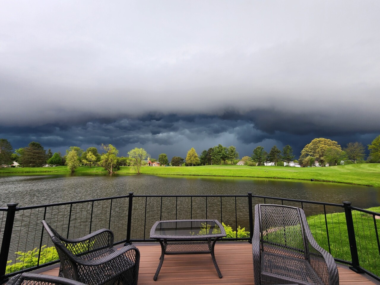


Send us photos, videos and reports of the weather
Please stay safe! Do not put yourself in danger to get a photo or video of severe weather. You can email photos and short videos to 5pix@wews.com and email storm reports and information to newsdesk@wews.com.
You can also submit information to us via the form on our Contact Us page here. For files larger than 10MB, please utilize a file-sharing service like DropBox or WeTransfer.
Want the latest Power of 5 weather team updates wherever you go? Download the News 5 App free now: Apple|Android
Download the StormShield app for weather alerts on your iOS and Android device: Apple|Android
Read and watch the latest Power of 5 forecast here.
Follow the News 5 Weather Team:
Mark Johnson: Facebook & Twitter
Trent Magill: Facebook & Twitter
