


CLEVELAND — Wrapping up a relatively dry January and rolling into February with a much more seasonable storm—a winter storm. This one gets started Sunday and lasts until Tuesday with its peak expected early Monday.
The National Weather Service issued a Winter Weather Advisory for parts of Northwest and Central Ohio that is in effect through Sunday. Additionally, a Hazardous Weather Outlook has been issued for Northeast Ohio.
The NWS says snow will "expand northeastward across the area overnight tonight and continue on Sunday. Snow accumulations of 2 to 4 inches are expected."
A Winter Weather Advisory has been issued for NW and North Central Ohio tonight through Sunday. Locations in the Advisory can expect 4 to 8 inches of #snow with the heaviest falling between midnight and noon. Use caution and plan extra time if traveling tonight and Sunday! #CLEwx pic.twitter.com/p8iRjdoHE6
— NWS Cleveland (@NWSCLE) January 30, 2021
There are a couple of scenarios in play. The battle between the cold air north and the warmer (wetter) air south will be crucial. If the low tracks a bit father north, that means more moisture and potentially more snow for us. The farther south the low tracks, the colder we'll be and the less moisture we'll be dealing with.

No matter the track, though, that lake is still mainly ice-free, meaning Lake Erie's Lake Effect Snow Machine will get cranking up on the backside.
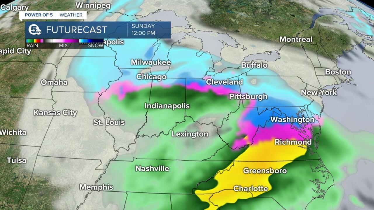
Quick takeaways:
- Mix likely early Sunday
- Mix changing to snow "sometime" Sunday
- Widespread snow ending through Monday
- Lake Effect Monday into Tuesday.
Click here to view our interactive radar.
Read and watch the latest Power of 5 forecast here.
Download the News 5 app for more weather information from the Power of 5 weather team: Apple|Android
Download the StormShield app for weather alerts on your iOS and Android device: Apple|Android
Follow the News 5 Weather Team:
Mark Johnson: Facebook & Twitter
Bryan Shaw: Facebook & Twitter
