


CLEVELAND — Get ready for a very active holiday forecast. Rain, snow, gusty winds - oh my!
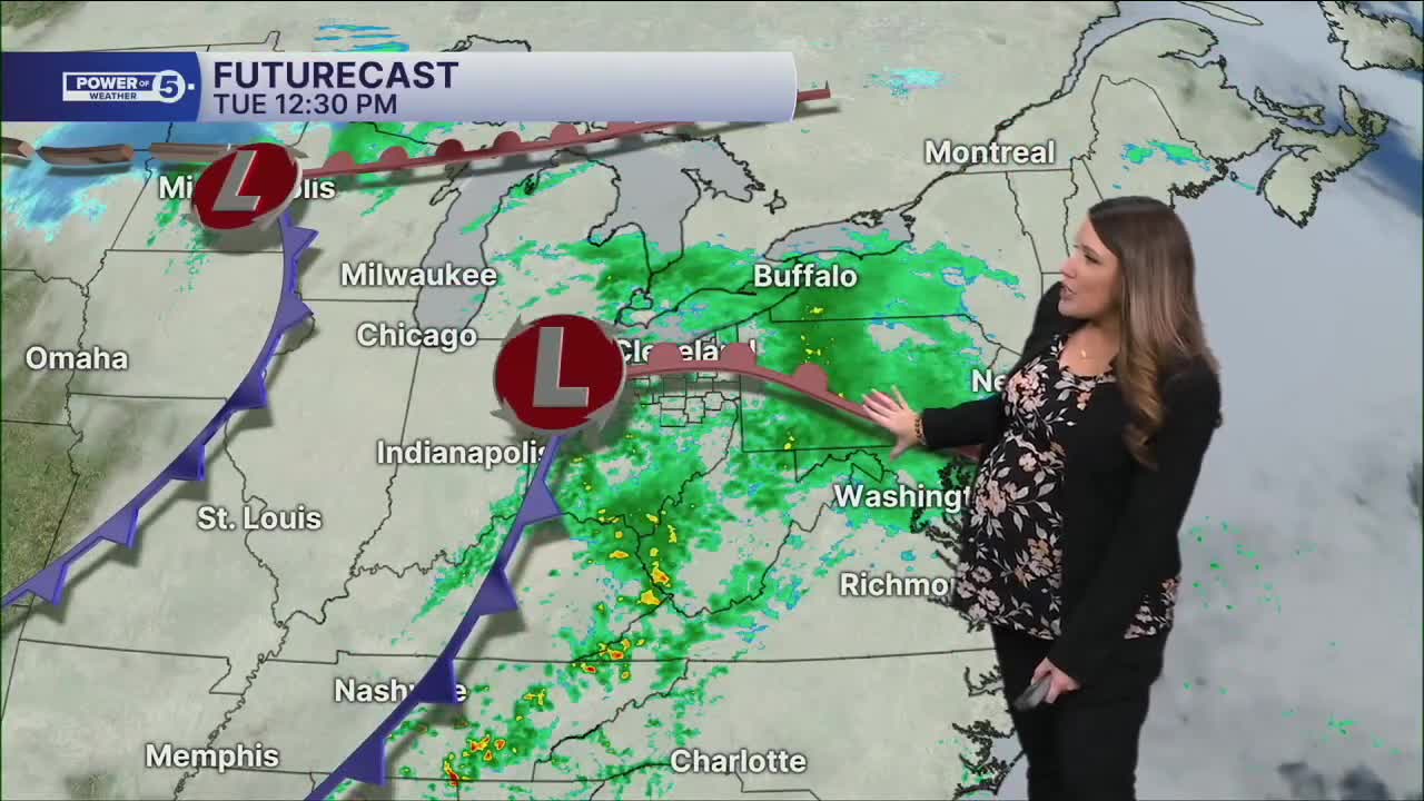
Clouds have been increasing throughout the day ahead of the next system. Clouds will keep temperatures fairly mild overnight with lows in the upper 30s to mid-40s. Rain returns overnight and will increase by Tuesday morning. Rain is likely after sunrise on Tuesday. The most widespread rain is expected to occur on Tuesday morning and should taper off somewhat during the afternoon. There will still be a chance for showers, but they will be hit or miss. It will remain pretty mild too, with highs in the lower and middle 50s once again. Winds will be out of the south at 10 to 15 mph with gusts around 20-25 mph.
We're still near 50º early on Wednesday morning with a few showers left over... that's brief. We're dropping out of the 50s, through the 40s, and into the 30s swiftly! 30s look likely by Wednesday afternoon, and that means rain will be changing to snow on Wednesday.
The storm pulls out quickly, but on the backside, it gets even colder! Plan for 20s at night, lower 30s during the days, and you may have guessed... Lake Effect Snow is expected! Heavy, shovelable snow for many areas east of CLE and into the primary snowbelt is expected for Thanksgiving and Black Friday. The snow could negatively impact travel plans over the holiday. Not only is snow expected, but it will also be windy. This could cause blowing and drifting snow, plus brutal wind chills!
We may even get in on another round of rain and snow to finish out the Holiday Weekend. Make sure you're staying aware of any changes.
DAILY FORECAST:
Monday Night: Cloudy & mild. Showers increase overnight. | High: 41º
Tuesday: Looking wet and mild. | High: 56º
Wednesday: Dropping temperatures. Rain changes to snow. | High: 46º
Thanksgiving Day: Windy & colder. Lake Effect Snow expected. | High: 35º
Friday: Lake Effect Snow Possible. Cold & Breezy. | High: 33º
Saturday: Snow showers possible. Cold. | High: 35º
Want the latest Power of 5 weather team updates wherever you go? Download the News 5 App free now: Apple|Android
Click here to view our interactive radar.
Follow the News 5 Weather Team:
Trent Magill: Facebook & Twitter
Katie McGraw: Facebook & Twitter
Phil Sakal: Facebook & Twitter
Allan Nosoff: Facebook & Twitter
