


CLEVELAND — After a chilly start, temperatures jumped into the 70s this afternoon! With the warmer temperatures, winds increased as well. Clouds have also been increasing this evening ahead of our next rain chance.
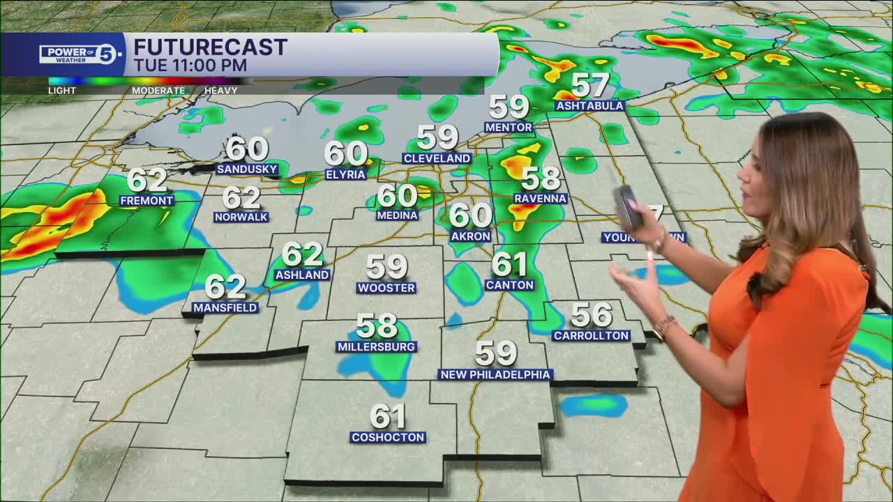
Thunder & rain come back tonight. Plan on thundershowers overnight into Wednesday. Brief downpours and rumbles of thunder are expected. They will start in our northern & western communities this evening and slowly move south and east overnight. They're gone by the AM Drive. Temperatures will be much warmer during the overnight, as lows will only drop into the low to mid 50s for most areas, thanks to the extra clouds and rain.
The north winds hang around, though behind the rain. That'll keep temps down a bit on Wednesday, but not nearly as much as they have been. Plan for highs in the 60s for much of NEO. After the rain clears before sunrise, clouds will follow suit, and most of the day will be bright!
We warm up a few degrees on Thursday with a slim chance for a couple of t-storms. The much better chance for rain holds off until Friday afternoon and evening. It is unfortunate timing, and that could impact Friday evening plans. The rain should clear out pretty early on Saturday, and most of the weekend looks dry and seasonable with temperatures in the low 60s.
DAILY FORECAST:
Tonight: Thundershowers and mild temps. | Low: 53º
Wednesday: Drying early, bright & mild after. | High: 65º
Thursday: Warm & breezy with a shot at rain. | High: 71º
Friday: Partly cloudy and warm. Storms at night. | High: 74º
Saturday: Storms possible early, then turning colder. | High: 60º
Want the latest Power of 5 weather team updates wherever you go? Download the News 5 App free now: Apple|Android
Click here to view our interactive radar.
Follow the News 5 Weather Team:
Trent Magill: Facebook & Twitter
Katie McGraw: Facebook & Twitter
Phil Sakal: Facebook & Twitter
Allan Nosoff: Facebook & Twitter
