


CLEVELAND — It will be a much quieter evening with decreasing clouds and winds by tonight. It will still be breezy but not nearly as windy as it was on Thursday. It will be chilly tonight with temperatures in the mid to low 50s inland and mid to upper 50s or low 60s along the lakeshore. Crack the window for some free AC!
And cooler-than-normal temperatures will continue for the next several days. Plan for mid and upper 70s, which is a couple of degrees below the average for mid to late June. Low 80s are more typical.
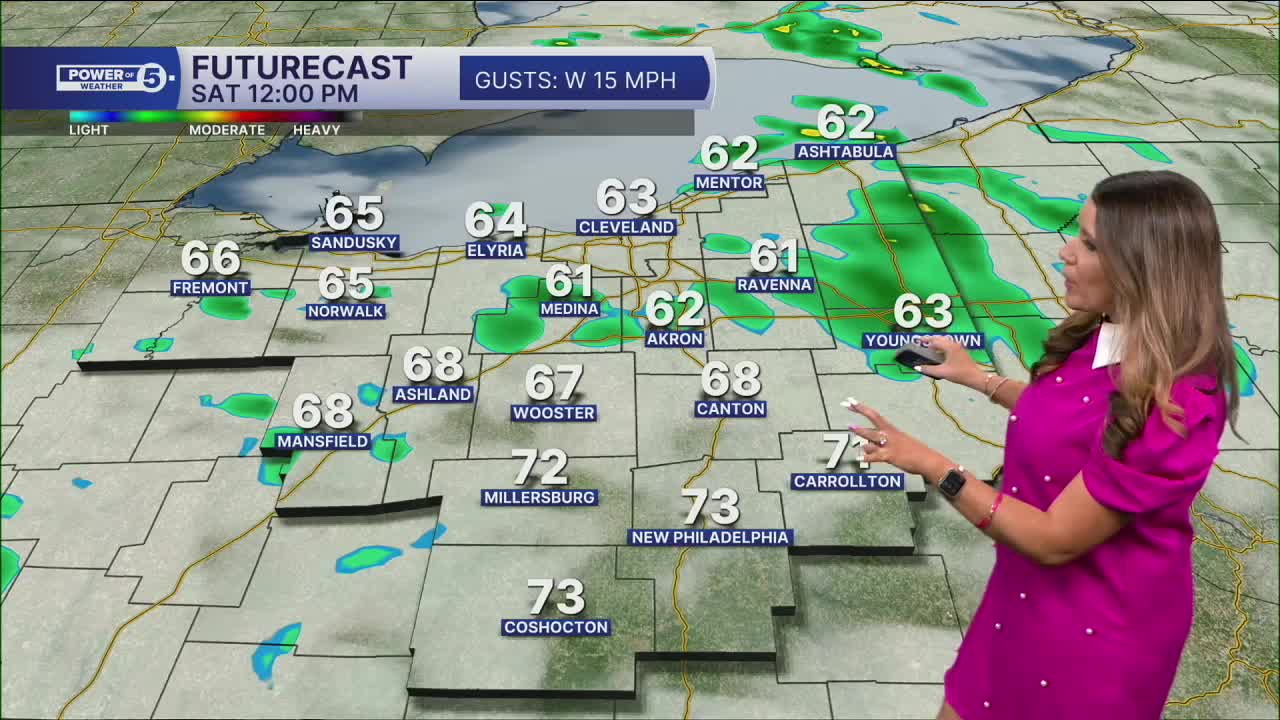
Somewhat calmer conditions return for Friday and Saturday, primarily with the lighter wind, but a couple of t-showers cannot be ruled out each day. Figure a 20% chance for a pop-up storm Friday afternoon and about a 30% chance for a few t-showers Saturday.
There is a much better chance of rain and storms on Father's Day. Thankfully, the timing looks good for any outdoor plans with dad! The morning and afternoon look dry with increased rain chances by Sunday evening. Heavy rain is possible Sunday night into Monday morning
DAILY FORECAST:
Tonight: Clearing clouds, less windy, and cool temps.| Low: 58º
Juneteenth: Partly sunny, isolated T-showers.| High: 76º
Saturday: Partly sunny. A few PM t-storms.| High: 75º
Father's Day: Partly sunny. Dry daytime. Heavy rain at night.| High: 74º
Monday: Heavy rain expected early. High: 72º
Want the latest Power of 5 weather team updates wherever you go? Download the News 5 App free now: Apple|Android
Click here to view our interactive radar.
Follow the News 5 Weather Team:
Trent Magill: Facebook & Twitter
Katie McGraw: Facebook & Twitter
Phil Sakal: Facebook & Twitter
Allan Nosoff: Facebook & Twitter
