


CLEVELAND — ANOTHER warming trend is on the way to end the weekend and into early next week.
Cleveland will see another big warm-up on Tuesday, as another warm front moves in late Monday. The warmer air and more humidity on Tuesday, and a cold front Tuesday night that could bring strong-to-severe storms to the region once again, something we'll keep a close eye on.
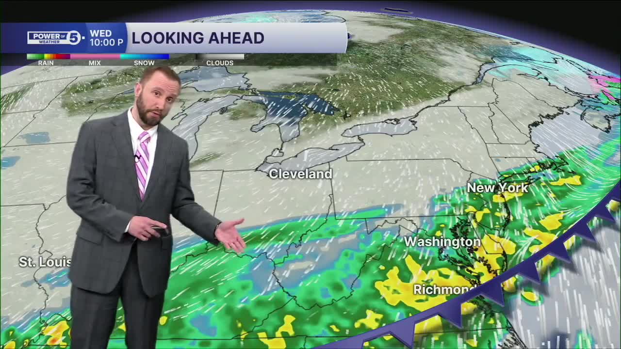
Stray drizzle or light rain is possible with the warm front on Monday, but the next rain-maker will arrive Tuesday evening and continue into Wednesday morning, with a cold front. This means another drop in the temperatures by mid-week. It may drop below freezing by Wednesday afternoon, just 24 hours after those upper 70s.
It is too soon to nail the Guards' Opening Day forecast for Friday. A lot of moving pieces in the atmosphere, and just too low confidence. Once we have important updates, we'll share them, so make sure to check back!
DAILY FORECAST:
Sunday: Milder again. More clouds. | High: 57º
Monday: Warmer again. Mostly cloudy. Isolated shower possible. | High: 67º
Tuesday: Partly cloudy, warm and humid. Storms are likely at night. | High: 77º
Wednesday: Temperatures drop early with more rain and possible snow to finish. | High: 50s —> 30s
Thursday: Another chance of showers. Seasonable temperatures. | High: 51°
Friday: Morning Rain Chance. Warmer. | High: 60°
Saturday: Rain returns. Warmer. | High: 66°
Want the latest Power of 5 weather team updates wherever you go? Download the News 5 App free now: Apple|Android
Click here to view our interactive radar.
Follow the News 5 Weather Team:
Trent Magill: Facebook & Twitter
Katie McGraw: Facebook & Twitter
Phil Sakal: Facebook & Twitter
Allan Nosoff: Facebook & Twitter
