


- Winter Weather Advisory in effect until 7 a.m. Thursday
- Lake Effect Snow Warning in effect until 7 a.m. Thursday
It will be a frigid feel to ring in 2026! Lows will be in the lower Teens for many locations to begin the new year and wind chills near-zero. Highs may not even hit 20 degrees on January 1.
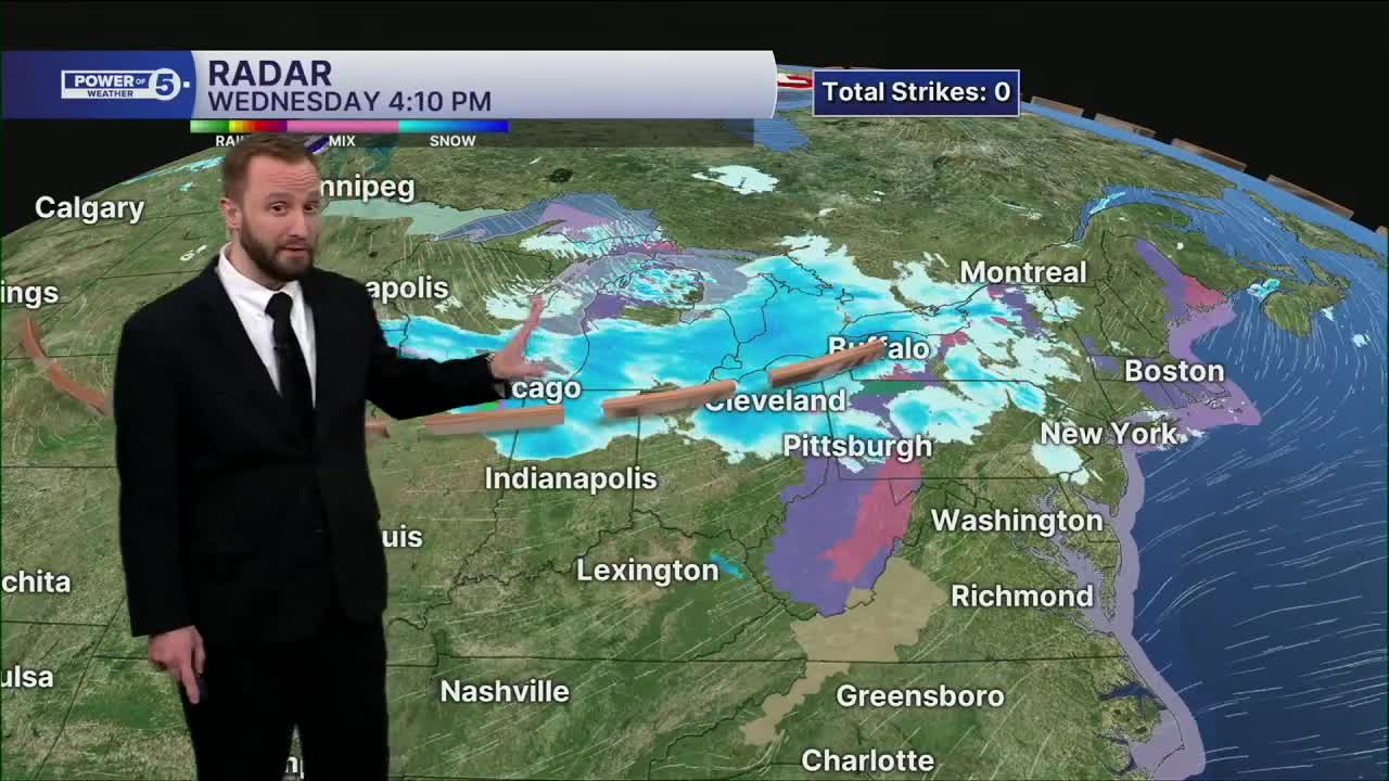
Lake effect snow cranks back up, too, albeit more localized. The primary snow belt will see more lake effect bands set up during the afternoon into the evening on Thursday and will begin to taper off on Friday. Accumulations will be much lower than Wednesday, but still a few areas could see a few inches of additional accumulation Thursday afternoon through Friday.
Happy New Year!
DAILY FORECAST:
New Year's Day: Cold to start 2026. Lake effect snow lingers | High: 19º
Friday: Lake effect (east). Cold. | High: 25º
Saturday: More clouds and cold. | High: 26º
Sunday: Mostly cloudy. Cold. | High: 27º
Monday: More clouds. Possible Mix. Touch warmer. | High: 33º
Tuesday: More clouds. Touch warmer. | High: 39º
Wednesday: Showers possible. Touch warmer. | High: 42º
Want the latest Power of 5 weather team updates wherever you go? Download the News 5 App free now: Apple|Android
Click here to view our interactive radar.
Follow the News 5 Weather Team:
Trent Magill: Facebook & Twitter
Katie McGraw: Facebook & Twitter
Phil Sakal: Facebook & Twitter
Allan Nosoff: Facebook & Twitter
