



AKRON, Ohio — A new tool is helping people enjoy the Cuyahoga River more safely this summer.
The Cuyahoga River Access Plan, known as CUYAC, gives paddlers, anglers and anyone planning to spend time on the river a quick look at current conditions before heading out.
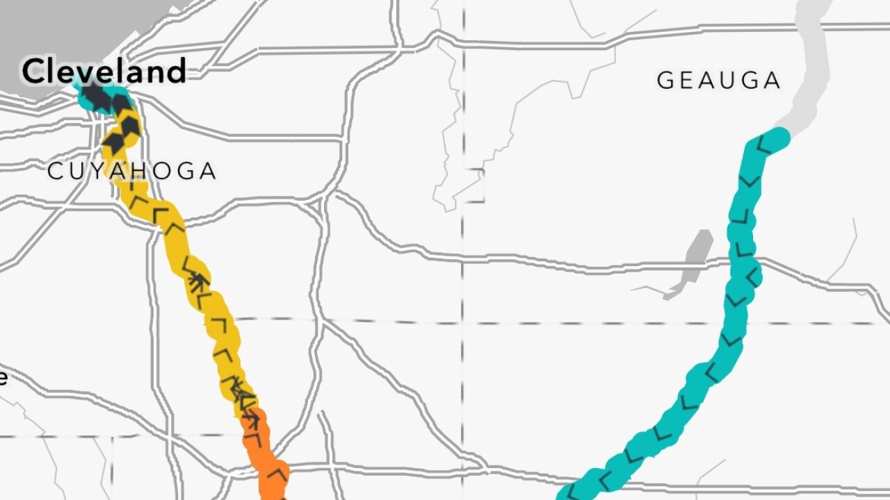
The free online tool uses a color-coded map to show risk levels in real time:
- Teal: Low risk
- Yellow: High risk
- Orange: Extreme risk
Users can search by river section or access point, and the map can even identify a user's location while they're on the water.
"It's those 'on the cusp' instances that will really, really show how lifesaving this app can be," said Ryan Ainger, a river ranger with Cuyahoga Valley National Park. "It's those circumstances where people are tempted to go out because one of those conditions might be OK, but it's the whole picture that you really have to understand."
The City of Akron developed the tool in its partnership with the Cuyahoga River Water Trail Partners. The city's GIS Mapping Department was especially involved in the process.
The city funded the first QR code signs along river access points, allowing visitors to scan the code and instantly check conditions before launching. Here's where the first signs are installed:
1. Kinsman Road
2. White Oaks
3. Tony Sainato Memorial Canoe Launch
4. Brust Park
5. Northampton Point River Access
6. Valley View Area of Cascade Valley Metro Park
The tool is free to use online, even if you're not near one of the signs along the river. Bookmark this site to use CUYAC.
"We're hoping this reduces the number of people who get themselves into trouble on the river," said Alex Bryan, GIS manager for the City of Akron. "It also provides a resource that helps people like myself, who has never kayaked before, feel more confident that I'm OK to take my wife and my kids out on the river."
In addition to current river conditions, CUYAC also tracks water temperatures and displays warnings issued by the National Weather Service, giving users a more complete picture of potential hazards.
Since launching, more than 3,000 people have already used CUYAC to check conditions before getting on the water.
