

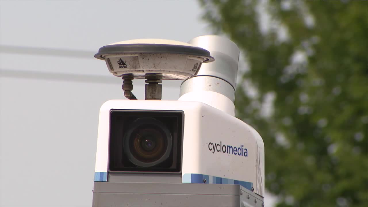


CLEVELAND, Ohio — If you see a small vehicle with cameras driving through your neighborhood over the next several weeks, it’s part of a new effort by Cuyahoga County to update its property information.
Cyclomedia vehicles are traveling throughout the county, capturing high-resolution, 360-degree street-level imagery and mobile LiDAR data.
“This is one of our vehicles that's going to be capturing 360-degree street-level imagery and mobile LiDAR for Cuyahoga County,” said Bill Wetzel, an account executive for Cyclomedia’s Midwest region.
The county is using the imagery primarily to support its property appraisal and reassessment process. Tom Fisher, the county’s Geographic Information Systems administrator, said the street-level images will give appraisers another way to evaluate properties without having to visit each one in person.
“This gives them a street-level view of that same property, and so they're able to take measurements of the property, also look at the conditions of the structure, and then that helps them do the evaluation,” Fisher said.
In the past, county employees would have to travel to properties to photograph and inspect them. Now, much of that work can be done remotely using the Cyclomedia imagery, which county officials say will save time and reduce the number of in-person visits.
The technology could also help when property owners have questions about their assessments. Lou Gentile, commercial appraisal manager for the county, said appraisers will be able to pull up a property’s imagery when residents call with questions about their homes or properties.
“The nice thing about this, really, is that when tax bills go out, and people start calling ... we'll be able to jump on the software, jump on Cyclomedia,” Gentile said.
Some properties will still require an in-person visit when appraisers need additional information or cannot answer a question using the imagery.
The new imagery will also be used as the county prepares for its 2027 statistical update. One important part of that work is verifying recent property sales.
“The first thing that we do is sales verification,” Gentile said. “We utilize the last three years' worth of sales, and when we're validating these sales, we're also looking at the structure.”
The imagery can help appraisers determine whether a property's condition is consistent with the information being used in the assessment process.
Cyclomedia's vehicles use multiple high-resolution cameras along with mobile LiDAR and location technology to create detailed street-level views. The county says the vehicles are collecting imagery from public roadways as part of the mapping project.
Cyclomedia vehicles are expected to be on the road across Cuyahoga County for approximately six to 10 weeks.
“They're not invading privacy. They're just doing a job. It's basically Google, just on steroids. It's a very crisp Google image that people are going to be able to utilize,” Gentile said.
Faces and license plates captured in the imagery will be blurred.
Nadeen Abusada is a Cuyahoga County and immigration reporter at News 5 Cleveland. Follow her on Instagram NadeenAbusada or email her at Nadeen.Abusada@wews.com.
