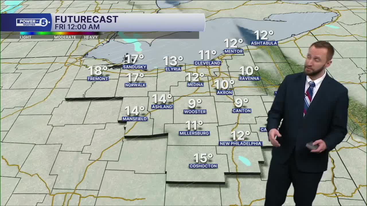


CLEVELAND — We'll rebound to near freezing on Friday, but another round of scattered snow will be likely by the mid morning through the afternoon. A couple of inches of accumulation is anticipated, with an isolated area seeing as much as 3 inches before the end of the evening on Friday. Wind chills will be in the teens for most of the afternoon.
More snow is on the way for the start of next week. Several clippers will keep an active pattern MLK Day through the middle of next week. So keep the shovels handy, Northeast Ohio! Temperatures will be even colder, with highs in the Teens, Sunday through Tuesday, with single-digit lows!
DAILY FORECAST:
Friday: Scattered snow showers. Not as cold. | High: 31º
Saturday: Few snow showers possible. | High: 29º
Sunday: Isolated snow possible. Frigid. | High: 19º
MLK Day: Scattered snow possible. Frigid. | High: 13º
Tuesday: Lake effect snow possible. Frigid. | High: 10º
Wednesday: Snow possible. Warmer. | High: 25º
Thursday: Still a chance of snow showers. Warmer. | High: 30º
Want the latest Power of 5 weather team updates wherever you go? Download the News 5 App free now: Apple|Android
Click here to view our interactive radar.
Follow the News 5 Weather Team:
Trent Magill: Facebook & Twitter
Katie McGraw: Facebook & Twitter
Phil Sakal: Facebook & Twitter
Allan Nosoff: Facebook & Twitter
