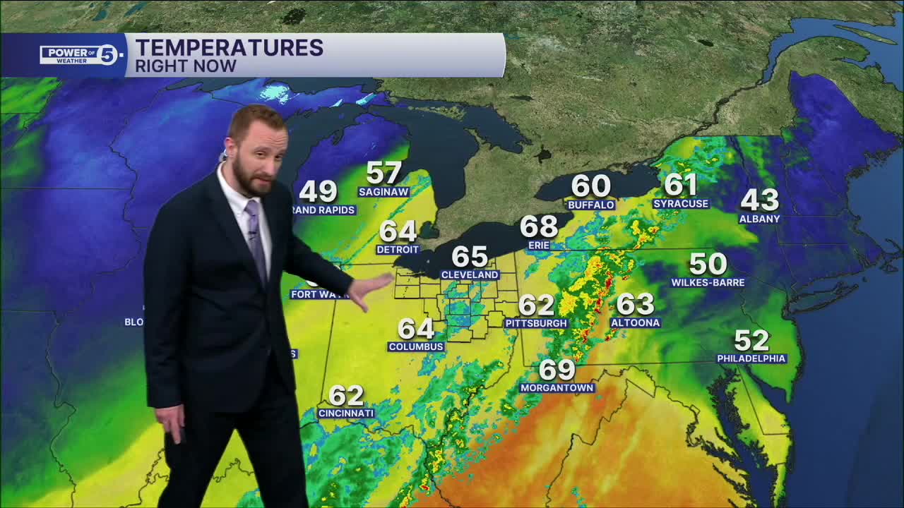


CLEVELAND — Temperatures, will be much colder, with lows in the lower 40s and a couple of areas in the upper 30s on Sunday morning.
Skies will begin to clear out throughout the morning on Sunday, giving way to more sunshine during the afternoon. Temperatures will once again be well above average, but we'll only top off in the upper 50s to near 60 for most during your Sunday afternoon.
More warmth will move in for the start of the new work week, as highs top off in the upper 60s and lower 70s by Monday through Wednesday.
Rain chances will begin to arrive again by Tuesday afternoon and will linger into Wednesday, along with the threat for strong to severe storms on Wednesday.
Colder air will then filter in for Thursday, and we might see some morning snowflakes, as highs will only be in the 30s.
DAILY FORECAST:
Sunday: AM Clouds to PM Sun. Breezy. | High: 57º
Monday: Drier. Partly Sunny. | High: 69º
Tuesday: Showers possible late. Warmer Again. | High: 73º
Wednesday: Showers and storms. Strong to Severe Possible. Warm. | High: 67º
Tuesday: Much colder. Isolated flakes. | High: 38º
Wednesday: Few showers possible. Warmer. | High: 54º
Thursday: Partly sunny. Seasonable. | High: 46º
Want the latest Power of 5 weather team updates wherever you go? Download the News 5 App free now: Apple|Android
Click here to view our interactive radar.
Follow the News 5 Weather Team:
Trent Magill: Facebook & Twitter
Katie McGraw: Facebook & Twitter
Phil Sakal: Facebook & Twitter
Allan Nosoff: Facebook & Twitter
