


CLEVELAND — Records will be challenged for both Friday and Saturday mornings. The wind will be calmer, which is why wind chills won't be as brutal as earlier this week, but that should not take away from the near-record cold. Still, even with a light breeze, we will see chills as cold as -15° to start off your Friday.
Check out Records Being Tested for more information on how many could see record cold to end the week.
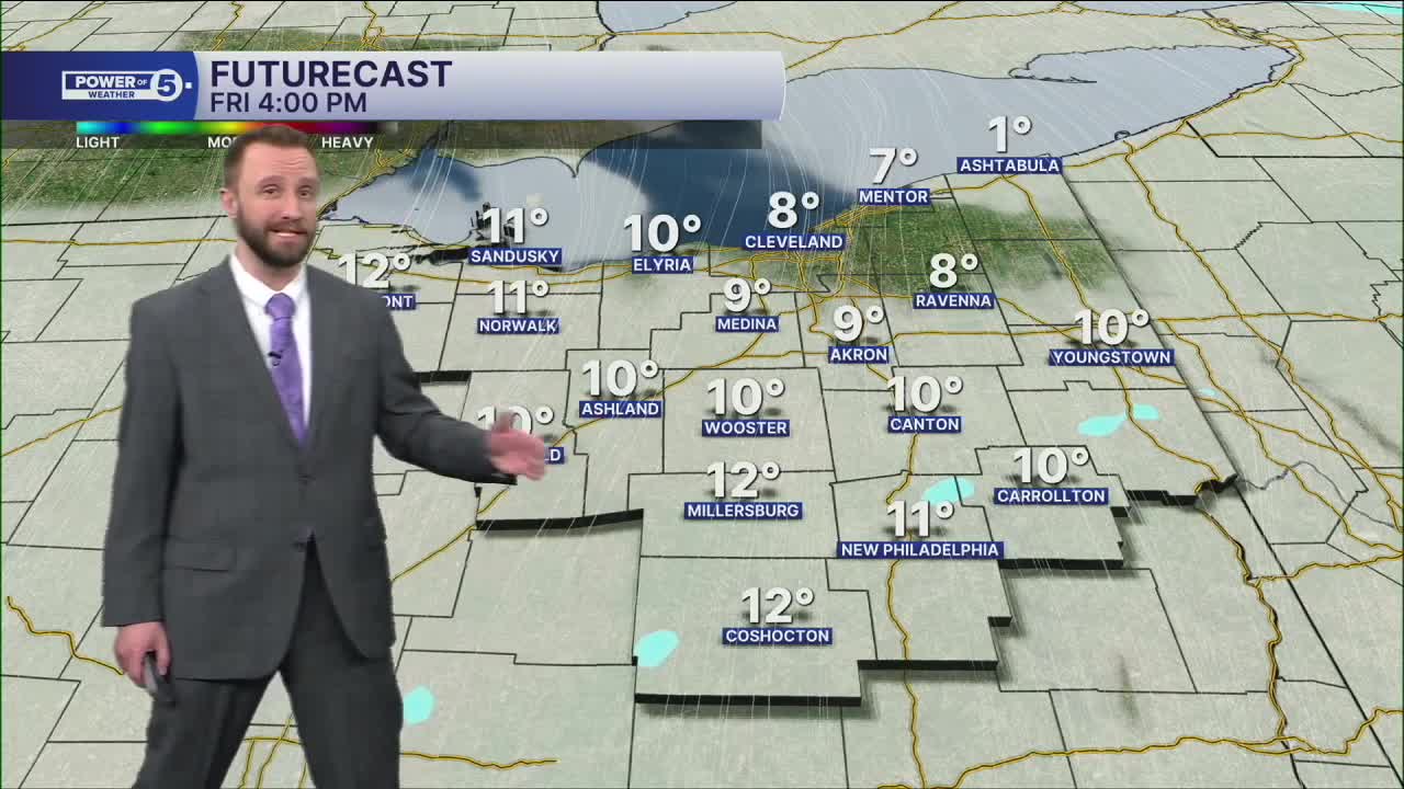
Isolated lake effect snow showers will be around for the next several days; thankfully, accumulations should be minor. But roads will still be slick! So take extra time and take it slow while traveling.
Next week looks slightly warmer but still not back to the norm... still not back to the 30s. Relentless polar blast.
Stay Warm, Northeast Ohio!
DAILY FORECAST:
Friday: Isolated snow showers possible, cold. | High: 13º
Saturday: Isolated snow showers possible, cold. | High: 14º
Sunday: Isolated snow showers possible, cold. | High: 17º
Monday: Few snow showers possible, cold. | High: 22º
Tuesday: Isolated snow showers possible, cold. | High: 26º
Want the latest Power of 5 weather team updates wherever you go? Download the News 5 App free now: Apple|Android
Click here to view our interactive radar.
Follow the News 5 Weather Team:
Trent Magill: Facebook & Twitter
Katie McGraw: Facebook & Twitter
Phil Sakal: Facebook & Twitter
Allan Nosoff: Facebook & Twitter
