


CLEVELAND — A weak front will move through tonight. It will bring more clouds and an isolated shower chance after midnight, but most will stay dry. Temperatures will bottom out in the mid to upper 30s across most locations by dawn on Saturday.
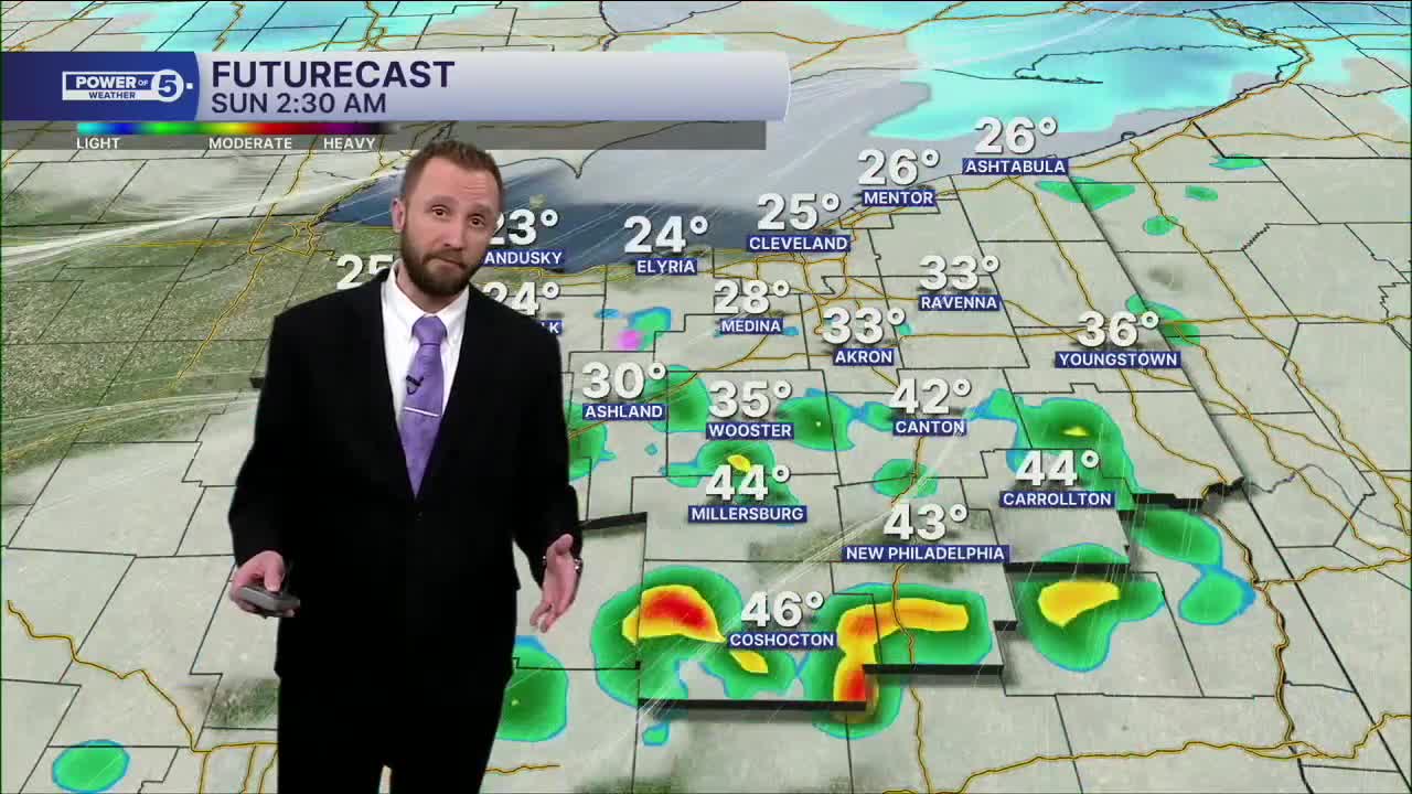
The weekend will be much colder, especially Saturday night and into Sunday. 40s north and 50s inland for midday Saturday will plummet to the low 20s by Sunday morning, with a few snow showers likely after sunset with a clipper. Temps struggle even to reach 30, with many locations only topping off in the upper 20s on Sunday. A quick inch or two is possible with this clipper Saturday evening through early Sunday morning, mainly in the snowbelt, where temperatures will support accumulations rather than melting snow.
Then, we are keeping a close eye on the start of next workweek as two separate storms could both impact us, with the first storm likely missing the area. Monday's storm, as of now, is expected to slide south and keep the area cold in the upper 20s and lower 30s. Tuesday's storm is now expected to be stronger and warmer, meaning a faster transition from mix/ice to rain. This storm will then be the start of a major pattern change. Spring might finally be here for more than just a day or two by the end of the week! Stay tuned for updates on that.
DAILY FORECAST:
Saturday: More clouds. Isolated snow possible late along the lakeshore. | High: 44º
Sunday: Much colder with a slim shot at snow early. | High: 29º
Monday: More clouds and cold. | High: 33º
Tuesday: Scattered ice/rain mix to rain. | High: 40º
Wednesday: Warming up with rain possible. | High: 50º
Thursday: Better shot at rain. | High: 60º
Want the latest Power of 5 weather team updates wherever you go? Download the News 5 App free now: Apple|Android
Click here to view our interactive radar.
Follow the News 5 Weather Team:
Trent Magill: Facebook & Twitter
Katie McGraw: Facebook & Twitter
Phil Sakal: Facebook & Twitter
Allan Nosoff: Facebook & Twitter
