



CLEVELAND — The heat and humidity have been fueling on-and-off thunderstorms this week. Wednesday evening was jam-packed with damaging storms (including two microbursts), torrential rain, flooding, and THOUSANDS of lightning strikes. Additional thunderstorms developed around lunchtime on Thursday in our eastern communities from noon until about 3:30 pm. The strongest storms impacted Tuscarawas and Carroll County. Those storms have continued to move south and east, and the rest of this evening will be warm and sticky and mainly dry....that is until tonight.
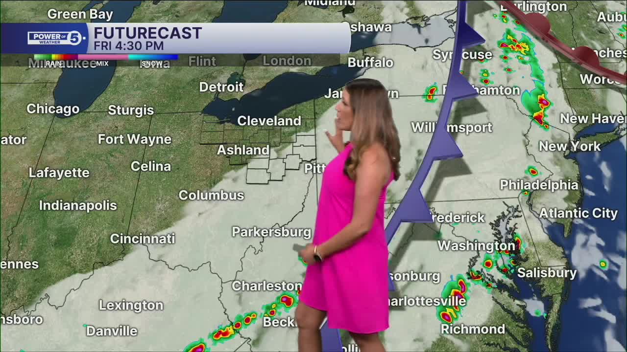
Our next cold front moves through on Friday. That will bring another shot for rain and storms tonight and early Friday. The timing is the best-case scenario for NEO, as the energy for storms will quickly drop as the line of storms approaches Ohio. We will still be watching for a few stronger storms in western Ohio, and as the line continues to move east, the storms are expected to continue to weaken. It will get breezy, though, as the front rolls through NEO overnight and into Friday morning. Gusts of 20 to 25 mph will be possible. That will make it dangerous on Lake Erie with waves of 2-4 feet and a high risk of rip currents until the early afternoon.
As the front continues to move through the region, it will fire off new storms to the east of our viewing area. There is a much better chance for severe weather to the west of Ohio this evening and to the east of Ohio tomorrow. The cold front will also sweep this intense humidity out of here, and high pressure will build in for the rest of your Friday and Saturday. A renewed chance for storms arrives on Sunday.
DAILY FORECAST:
Thursday Night: Warm & sticky, decaying line of storms moves in from the west.| Low: 72
Friday: T-storms early, then drying out and less humid.| High: 80º
Saturday: More seasonable, less humid.| High: 85º
Sunday: A few storms are possible.| High: 73º
Monday: Drier and cooler.| High: 72º
Want the latest Power of 5 weather team updates wherever you go? Download the News 5 App free now: Apple|Android
Click here to view our interactive radar.
Follow the News 5 Weather Team:
Trent Magill: Facebook & Twitter
Katie McGraw: Facebook & Twitter
Phil Sakal: Facebook & Twitter
Allan Nosoff: Facebook & Twitter
