


CLEVELAND — Something wild happened on Friday....a few downpours developed in our southern communities around Stark and Tuscarawas County! They didn't last long, but after more than two weeks with no measurable rainfall, it was a welcome sight and sign of changes to come this weekend!
It will be dry overnight and into Saturday morning with mostly clear skies and temperatures in the 50s. We will be waking up on Saturday to very similar conditions to the last several days, but with increasing clouds and warming temperatures into the upper 70s along the lakeshore and 80s farther inland.
This has been one of the driest Septembers in years, but high pressure (the reason we have been so dry lately) is finally getting the boot this weekend as a new area of low pressure approaches from the west. A warm front will slide through by Sunday, bringing a surge in temperatures. Highs on Sunday will be in the mid to even UPPER 80s. Heat index values could be in the upper 80s and low 90s on Sunday afternoon. If you are going to the Browns game, get ready to sweat and stay cool!
This system will also usher in the return of rain to NEO. Much of Saturday looks dry and should cooperate for outdoor plans, but a few more downpours are expected Saturday evening/night. Shower and storm chances increase on Sunday, especially on Sunday evening, but a stray t-storm or two is possible in the afternoon.
The rain potential skyrockets early next week on Monday and Tuesday. There could even be periods of heavy rain, and while we need rainfall in the midst of drought, we also do not want too much rain too fast.
The pattern has been dry and warm for days, but that is flipping fast next week. Plan for more unsettled weather and near-daily rain chances are expected next week. The Power of 5 team will keep you posted on specific details about the timing of rain and how much rain we can expect next week in the days to come.
DAILY FORECAST:
Friday Night: Cool and quiet| Low: 58º
Saturday: Partly to mostly sunny. Warm. | High: 79º
Sunday: Sun to clouds. Hot and humid. Storms at night. | High: 85º
Monday: Rain likely. Thunderstorms possible. A bit cooler. | High: 80º
Tuesday: Scattered showers and storms possible. Mostly cloudy.| High: 79º
Want the latest Power of 5 weather team updates wherever you go? Download the News 5 App free now: Apple|Android
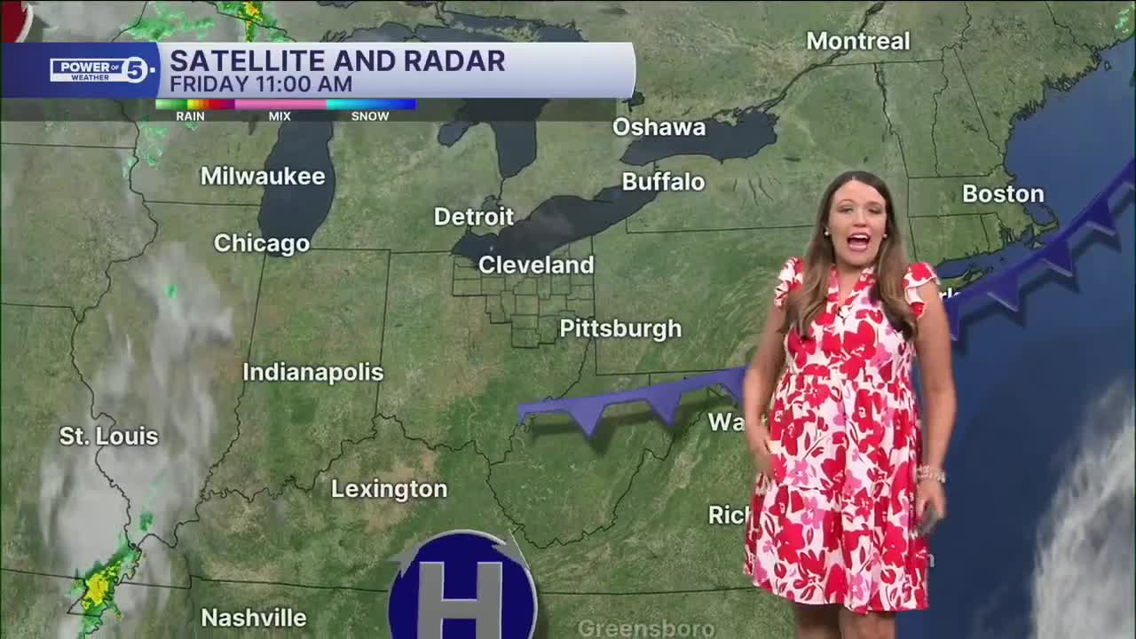
Click here to view our interactive radar.
Follow the News 5 Weather Team:
Trent Magill: Facebook & Twitter
Katie McGraw: Facebook & Twitter
Phil Sakal: Facebook & Twitter
Allan Nosoff: Facebook & Twitter
