



CLEVELAND — Air Quality will be slowly improving overnight. Southwest winds will begin pushing the smoke out of NEO, and a few evening thunderstorms, mainly before midnight, may help clean the air even faster. By the wee hours of Saturday, our air starts improving QUICKLY.
Saturday is different... an entirely different concern.
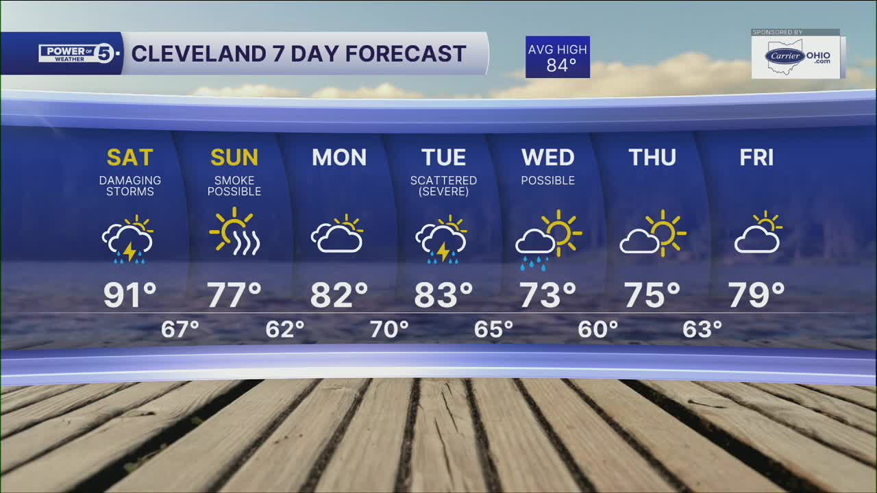
Heat is building back in with highs in the lower 90s, gusty winds up to 30 mph, and an increasingly unstable atmosphere. Those ingredients could fuel strong, potentially damaging thunderstorms Saturday afternoon and evening. If you have outdoor plans, keep a close eye on the forecast and make sure you have a way to receive weather alerts.
We'll be streaming live when storms begin to develop and move into Northeast Ohio. Timing is looking around the mid-afternoon into the evening for severe storm potential. Damaging straight-line winds and heavy rain will be the primary concerns, but a tornado or two cannot be ruled out.
By Sunday, the weather will have settled down. It'll be drier, less humid, and most of the smoke should stay away, making for a much more comfortable end to the weekend.
DAILY FORECAST:
Saturday: Scattered storms. PM Severe Risk. Muggy.| High: 92º
Sunday: Cooler, drier, light haze.| High: 77º
Monday: Heating closer to the norm. | High: 82º
Tuesday: Storms returning. Still steamy. | High: 83º
Want the latest Power of 5 weather team updates wherever you go? Download the News 5 App free now: Apple|Android
Click here to view our interactive radar.
Follow the News 5 Weather Team:
Trent Magill: Facebook & Twitter
Katie McGraw: Facebook & Twitter
Phil Sakal: Facebook & Twitter
Allan Nosoff: Facebook & Twitter
