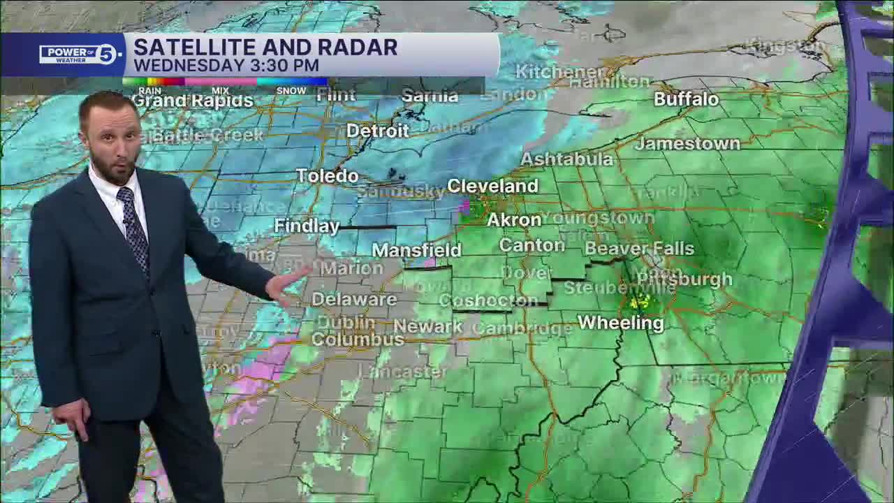


CLEVELAND — Widespread snow will continue for the rest of your Wednesday evening. Winds will remain gusty, so anticipate dropping visibility, along with Wind Chills into the Teens and Single Digits throughout the evening and overnight. Totals will be several inches, widespread, and then Lake Effect begins to ramp up during the second half of the overnight through Thursday.
Totals in the Snow Belt will be well over half a foot to a foot plus before the end of your Thursday. So the roads and travel will be very messy.
Along with the snow, the cold will double down tonight, and well below average temperatures continue over the next several days.
More snow on the way to end the week into next week. Several clippers will keep an active pattern Friday through MLK Day. So keep the shovels handy NEO!
Winter is back!
DAILY FORECAST:
Thursday: Lake effect snow. | High: 19º
Friday: A few snow showers. | High: 30º
Saturday: More snow possible. | High: 27º
Sunday: More snow possible. Frigid. | High: 19º
MLK Day: Scattered snow possible. Frigid. | High: 21º
Tuesday: Lake effect snow possible. Frigid. | High: 15º
Want the latest Power of 5 weather team updates wherever you go? Download the News 5 App free now: Apple|Android
Click here to view our interactive radar.
Follow the News 5 Weather Team:
Trent Magill: Facebook & Twitter
Katie McGraw: Facebook & Twitter
Phil Sakal: Facebook & Twitter
Allan Nosoff: Facebook & Twitter
