


CLEVELAND — Winds are driving the forecast this week. Southwest winds on Tuesday will continue to bump temperatures up. Middle to upper 40s will be on-tap across NEO for your Tuesday. Enjoy it....as it will be fleeting. A few showers will be possible, mainly during the afternoon, in our northeastern communities.
Arctic air will be moving in for the middle and end of the week, behind a cold front that will move through on Wednesday.
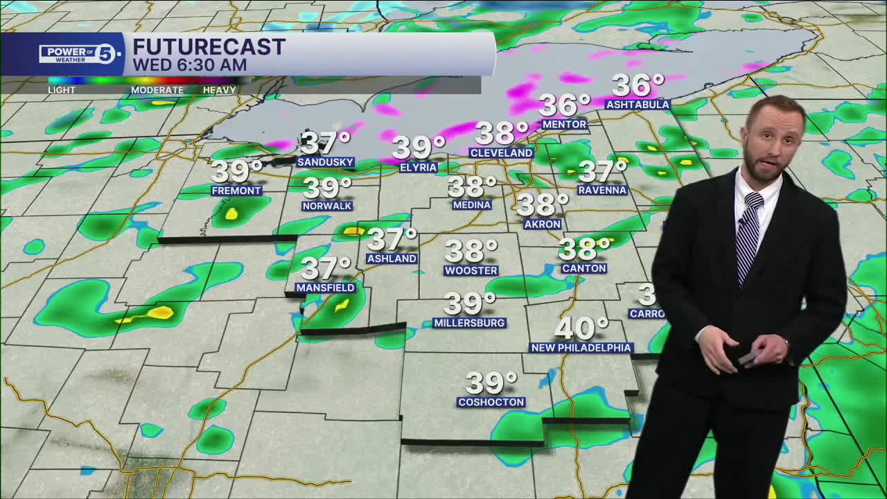
After a windy and warm Tuesday, the cold rushes in. We're dropping into the lower 30s by Wednesday afternoon with rain showers changing to snow.
Winds will be strong, and snow will be blowing. Visibility will likely drop at times, and roads will be slick. That continues into Thursday
All of this is followed by another weekend storm with more arctic air and another round of shovelable snow.
DAILY FORECAST:
Tuesday: Warmer, windier. Few rain showers. | High: 46º
Wednesday: Rain changing to snow as temps drop. | High: 30º
Thursday: Cold and blustery with scattered snow | High: 23º
Friday: Cold with a few snow showers. | High: 26º
Saturday: Snow Possible. | High: 32º
Saturday: Snow Possible. Frigid. | High: 19º
Want the latest Power of 5 weather team updates wherever you go? Download the News 5 App free now: Apple|Android
Click here to view our interactive radar.
Follow the News 5 Weather Team:
Trent Magill: Facebook & Twitter
Katie McGraw: Facebook & Twitter
Phil Sakal: Facebook & Twitter
Allan Nosoff: Facebook & Twitter
