


CLEVELAND — We felt the hottest temperatures of the year (so far) with a high temperature of 88 degrees at Hopkins Airport on Monday. Some spots reached 90º for the first time this season!
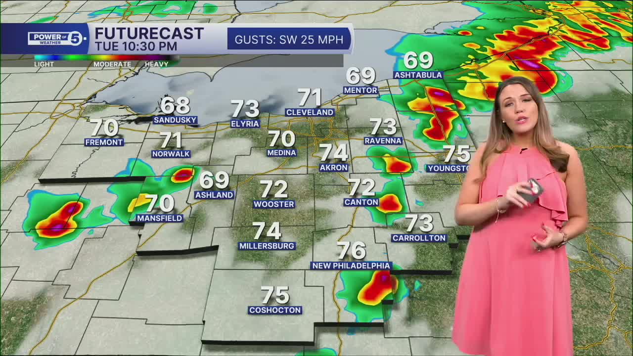
A decaying line of thunderstorms is rolling through this evening. Plan for spotty showers to fade tonight with warm temperatures in the 60s and low 70s overnight! There is a better chance of storms on Tuesday and Wednesday. These storms will be ahead of a cold front and usher in the return of cooler temperatures for the rest of the work week. Strong and severe storms will be possible on Tuesday, during the afternoon into the evening. The best window appears to be from 4 pm to 10 pm.
All modes of severe weather are possible. What does that mean? We will be watching for damaging winds, hail, frequent lightning, heavy rain, and even isolated tornadoes. Stay connected on exact timing and hazards.
Rain will be lingering on Wednesday, especially in the first half of the day. The high temperature will happen early on Wednesday, around 70 degrees, but will drop quickly into the 50s and 40s by the afternoon and evening. Plan for below-average temperatures for Thursday as well.
The holiday weekend looks active. It is too soon to talk about specifics, but for now, plan for on and off showers and storms with seasonal temperatures.
DAILY FORECAST:
Monday Night: Warm, mostly cloudy, stray showers.| Low: 70º
Tuesday: Scattered storms. Could be strong. | High: 83º
Wednesday: Wettest early as temps fall. | High: 70º at midnight —> 54º by noon —> 40s by evening
Thursday: Drying out and Cooler. | High: 58º
Friday: Few showers. Seasonable temps return. | High: 66º
Saturday: Scattered rain. Few storms. Touch Warmer. | High: 74º
Sunday: Few showers | High: 70º
Want the latest Power of 5 weather team updates wherever you go? Download the News 5 App free now: Apple|Android
Click here to view our interactive radar.
Follow the News 5 Weather Team:
Trent Magill: Facebook & Twitter
Katie McGraw: Facebook & Twitter
Phil Sakal: Facebook & Twitter
Allan Nosoff: Facebook & Twitter
