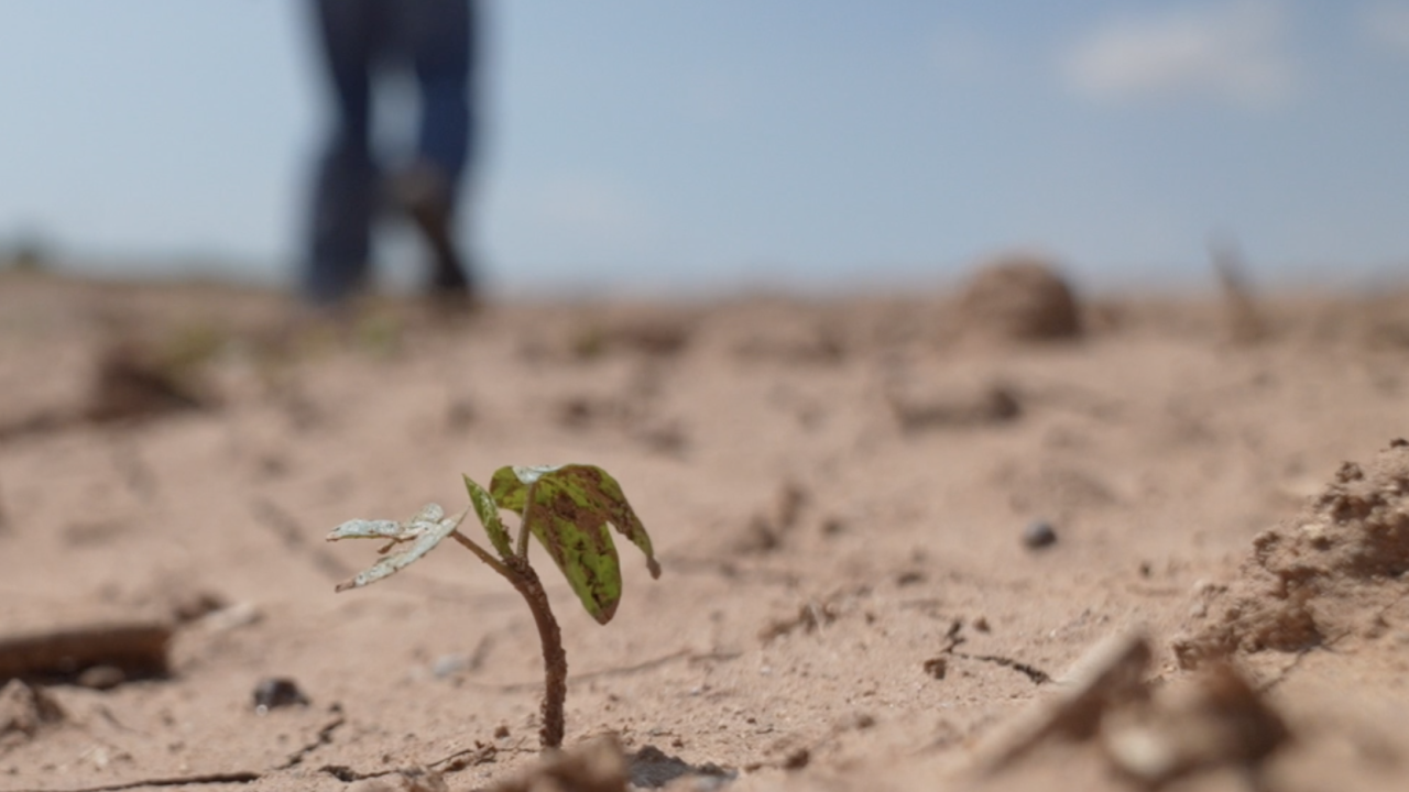
Northeast Ohio is in need of a drink! It was a very dry month across NE Ohio during May 2023. Cleveland (Hopkins Airport) ended the month 1.24 inches below average for precipitation. You can see in the image below that there are a lot more brown boxes (representing days with no rain) vs green boxes. In fact, there are only six days in the entire month that picked up more than 0.01'' of rain. When looking at precipitation values for the entire year, there is still a surplus of 0.86 inches, but that number continues to get lower every day we do not see rain.


After this dry month, Northeast Ohio is now in the early stages of drought, known as "abnormally dry" conditions on the U.S. Drought Monitor. "D0," or abnormally dry, means the area in yellow is experiencing short-term dryness, slowing planting and growth of crops and pastures. The U.S. Drought Monitor is a map released every Thursday (with data from Tuesday to Tuesday). It tracks drought across the U.S. Using five classifications: Abnormally dry (D0), shows areas that may be going into or are coming out of drought, and four levels of drought: Moderate (D1), severe (D2), extreme (D3) and exceptional (D4).

The weekly update to the United States Drought Monitor was issued on Thursday, and there are noticeable changes across our viewing area over the just the last week. Compare the map released for the week of May 23 compared to this week below. Note how the yellow area (D0) expanded considerably across the mid-west and Ohio over the last week. On May 23, only 2% of the entire Buckeye State was experiencing abnormally dry conditions. Now that has increased to 74% of the state experiencing abnormally dry conditions.


Rain chances continue to look limited over the next several days and potentially weeks. Unfortunately, drought typically breeds more drought and leads to a vicious cycle. Drought conditions lead to warmer-than-normal temperatures, which promotes ridging (high pressure aloft) which in return limits rain potential and worsens drought.
Below is the outlook for the month of June from the Climate Prediction Center that shows drought conditions are expected to continue to develop over the month of June in our region.

Below is an image from the Euro computer model for precipitation anomalies over the next 46 days. This shows a continuation of drier-than-normal conditions well into July as well.
The Power of 5 Weather Team will continue to monitor drought conditions over the next several weeks and keep you posted as well. Be sure to tune into News 5 for the daily and weekly forecasts.

Want the latest Power of 5 weather team updates wherever you go? Download the News 5 App free now: Apple|Android
Download the StormShield app for weather alerts on your iOS and Android device: Apple|Android
Click here to view our interactive radar.
Read and watch the latest Power of 5 forecast here.
Follow the News 5 Weather Team:
Mark Johnson: Facebook & Twitter
Trent Magill: Facebook & Twitter


