


CLEVELAND — Storms moved through Northeast Ohio on Wednesday night, bringing damaging winds, hail, and isolated tornadoes.
WATCH: coverage from News 5 Meteorologist Katie McGraw:
Storm Photos:


Hazards may include 60 mph winds and damaging hail, along with heavy rain that has also caused a flood advisory to be issued for Trumbull County until 7:15 p.m.
CLICK HERE to see the list of severe weather watches, warnings, and other weather alerts from the NWS that are currently active in our area.
SEVERE POTENTIAL: The entire Power of 5 viewing area was included in the Storm Prediction Center's risk for severe weather on Wednesday.
Each of the colors represents a risk level.
- Green = 1 out of 5
- Yellow = 2 out of 5
- Orange = 3 out of 5
This means the highest risk for severe weather is to the west of NEO in Indiana and western Ohio. Storms are expected to weaken as they move from west to east.
The biggest question mark remains if and when these storms weaken. So even if you live farther east, it does not mean you are in the clear. We have had several damaging storms under the yellow or level 2 risk.
We watched for damaging winds, large hail, frequent lightning, heavy rain that could lead to flooding, and isolated tornadoes.

TIMING: The first round of strong and severe storms from this afternoon is moving east as of 4:30 pm into PA. Meanwhile, the line of severe storms to our west is moving through Indiana and continues to move toward NEO after 6 pm. It looks like the severe weather will be short-lived. Stay weather aware from 7 to midnight, with a tighter window of 8 p.m. to the west and 11 p.m. to the east.
Scroll through the images of Futurecast below to get an idea about the timing, coverage, and intensity of storms tomorrow.
News 5 will update this article as needed over the next day. Be sure to check back for the latest information, and of course, tune into News 5 at 5, 6, 7, and 11 p.m.!


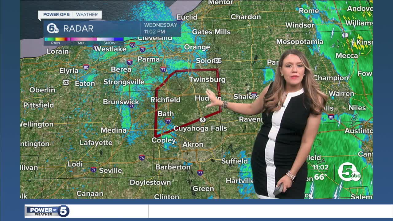
Radar
View the current Power of 5 Weather Radar below:
Power outages
Visit our Power Outage page to find links to see current power outages in Northeast Ohio and to report a power outage.
Traffic impacts
View our News 5 Traffic Map to see any road closures or delays due to the weather or crashes from the weather.
Send us photos, videos and reports of the weather
Please stay safe! Do not put yourself in danger to get a photo or video of severe weather. You can email photos and short videos to 5pix@wews.com and email storm reports and information to newsdesk@wews.com.
You can also submit information to us via the form on our Contact Us page here. For files larger than 10MB, please utilize a file-sharing service like DropBox or WeTransfer.
Want the latest Power of 5 weather team updates wherever you go? Download the News 5 App free now: Apple|Android
Download the StormShield app for weather alerts on your iOS and Android device: Apple|Android
Read and watch the latest Power of 5 forecast here.
Follow the News 5 Weather Team:
Trent Magill: Facebook & Twitter
Katie McGraw: Facebook & Twitter
Phil Sakal: Facebook & Twitter
