


- Winter Weather Advisory in effect until 7 a.m. Thursday
- Lake Effect Snow Warning in effect until 7 a.m. Thursday
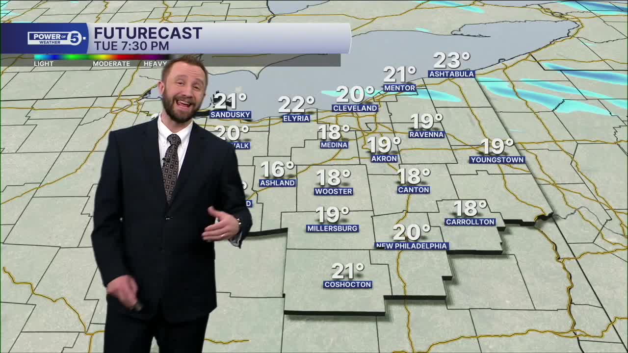
More snow on the way across NE Ohio to round out 2025!
Widespread snow moves in during the second half of your Tuesday evening and will continue into the wee hours of Wednesday. Lake enhancement will be possible, especially in parts of the snowbelt of Lake and Ashtabula counties.
More snow will move in behind a cold front for the afternoon and evening on Wednesday (New Year's Eve) and will impact travel plans for celebrations and get togethers. Winds will be gusty and colder temperatures will move in as we get closer to midnight on Thursday. So plan on bundling up if heading out to ring in 2026.
For more details, check out Timing and Totals
Colder temperatures and drier conditions will move in for the afternoon on New Year's Day into Friday, with highs in the 20s throughout NE Ohio.
Stay warm and stay safe!
DAILY FORECAST:
New Year's Eve: Cold & breezy with scattered snow. | High: 27º
New Year's Day: Cold to start 2026. Lake effect snow lingers | High: 23º
Friday: Lake effect (east). Cold. | High: 25º
Saturday: More clouds and cold. | High: 25º
Sunday: Mostly cloudy. Cold. | High: 29º
Monday: Snow possible. Touch warmer. | High: 33º
Want the latest Power of 5 weather team updates wherever you go? Download the News 5 App free now: Apple|Android
Click here to view our interactive radar.
Follow the News 5 Weather Team:
Trent Magill: Facebook & Twitter
Katie McGraw: Facebook & Twitter
Phil Sakal: Facebook & Twitter
Allan Nosoff: Facebook & Twitter
