


CLEVELAND — More scattered snow is likely on Sunday, especially during the afternoon. A quick coating to an inch is likely for most, with more than an inch possible with some lake enhancement across the snowbelt. Most will see drier conditions by Sunday evening through the start of the work week.
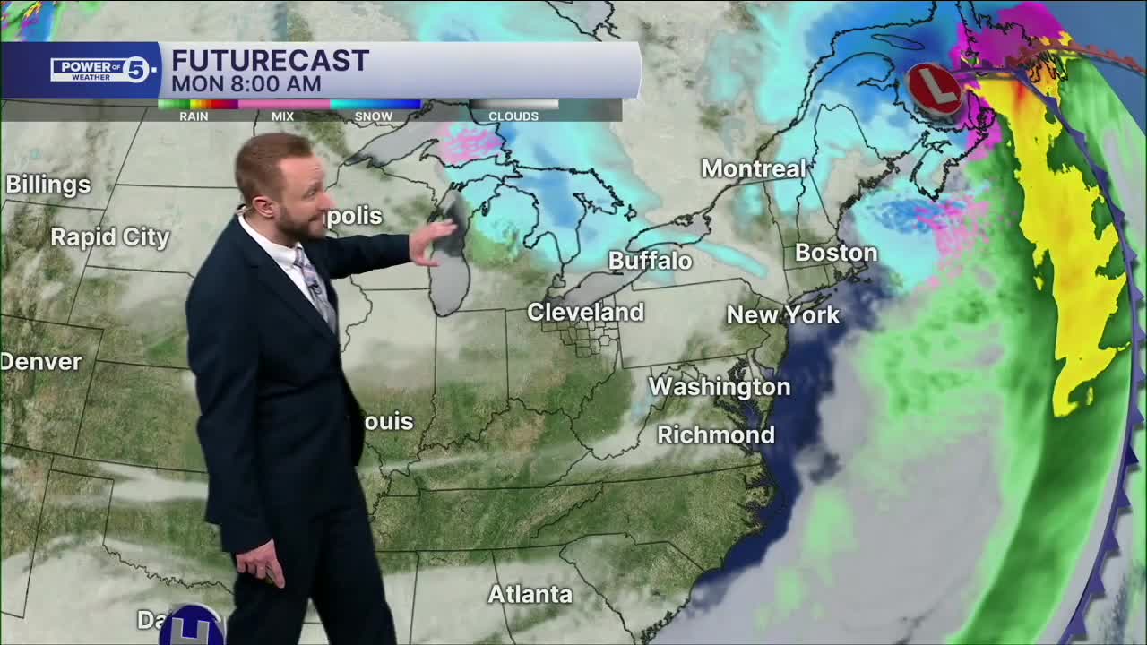
It will be a mostly dry start to the workweek, but the next storm, yet another clipper, arrives late Tuesday and could stick around through Thursday as it becomes a coastal storm off the east coast.
DAILY FORECAST:
Sunday: Much colder. Scattered snow showers. | High: 29º
Monday: Mostly cloudy. Seasonable. | High: 37º
Tuesday: Rain possible late. Above average, briefly. | High: 43º
Wednesday: Rain to Snow Showers. Seasonable. | High: 37º
Thursday: Few Snow Showers. Colder. | High: 25º
Friday: Snow Showers Possible. Cold. | High: 27º
Saturday: Snow Showers Possible. Touch Warmer. | High: 30º
Want the latest Power of 5 weather team updates wherever you go? Download the News 5 App free now: Apple|Android
Click here to view our interactive radar.
Follow the News 5 Weather Team:
Trent Magill: Facebook & Twitter
Katie McGraw: Facebook & Twitter
Phil Sakal: Facebook & Twitter
Allan Nosoff: Facebook & Twitter
