

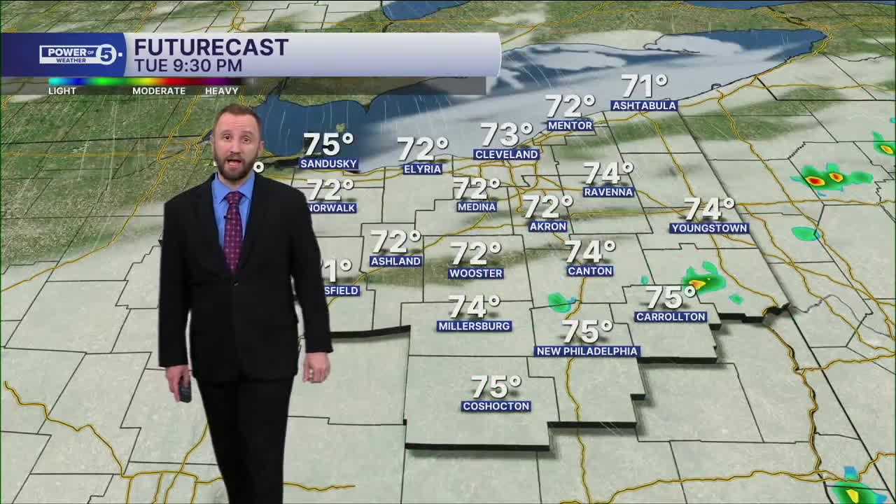


CLEVELAND — Plan on a mostly dry Tuesday with only a stray afternoon t-shower—a much improved forecast. Temps won't be rebounding quite yet either. Tuesday, again, is in the upper 70s to around 80. Muggy but tolerable!
In midweek, we bring more seasonable temperatures, with highs in the middle to upper 80s, along with more sunshine on Wednesday.
Rain will begin to return by Thursday afternoon and will linger through Friday. Temperatures will remain in the mid to upper 80s on Thursday, but will begin to drop back into the lower 80s by Friday. The weekend, as of this writing, is looking drier with highs in the lower 80s.
DAILY FORECAST:
Monday Night: Few t'showers. Mostly cloudy and muggy. | Low: 68°
Tuesday: Stray thunder, Sun & Clouds. Seasonable. | High: 80º
Wednesday: Isolated thunder. More sunshine. Warmer. | High: 84º
Thursday: Few PM t'storms. Warmer & humid. | High: 87º
Friday: Scattered storms. Warm & muggy. | High: 84º
Saturday: Drier. Partly cloudy & warm. | High: 81º
Sunday: Partly cloudy & warm. | High: 82º
Want the latest Power of 5 weather team updates wherever you go? Download the News 5 App free now: Apple|Android
Click here to view our interactive radar.
Follow the News 5 Weather Team:
Trent Magill: Facebook & Twitter
Katie McGraw: Facebook & Twitter
Phil Sakal: Facebook & Twitter
Allan Nosoff: Facebook & Twitter
