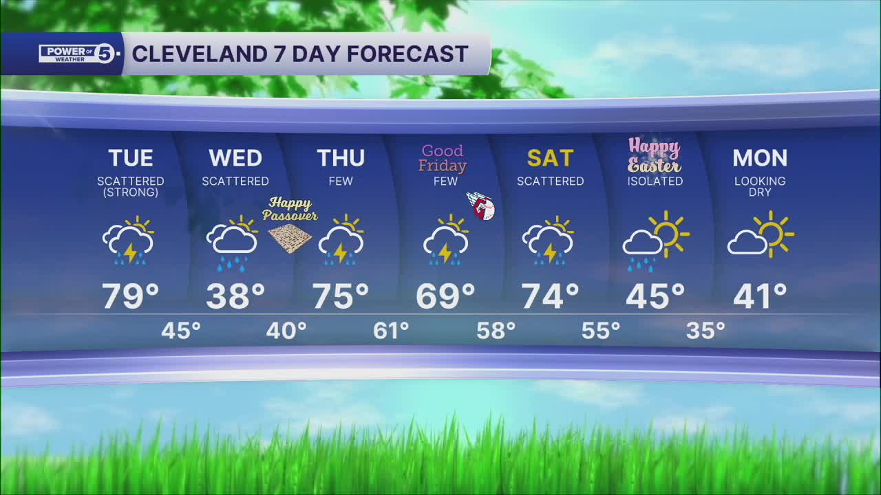


CLEVELAND — Severe storms whipped through Northeast Ohio throughout Tuesday, prompting numerous weather alerts to be issued across the region.
Many counties were under this watch for a good portion of Tuesday afternoon into Tuesday night, and saw Severe Thunderstorm Warnings and Tornado Warnings.
With the heavy rain, some counties are experiencing flooding that has prompted road closures.
The Power of 5 Team was live with updates Tuesday night:
Power outages
The following county outages have been reported by FirstEnergy as of 6:37 a.m.:
- Ashtabula — 1,866
- Cuyahoga — 17,368
- Geauga — 3,350
- Lake — 8,164
- Lorain — 3,354
Visit our Power Outage page to find links to see current power outages in Northeast Ohio and to report a power outage.
Damage

Reports of storm damage are starting to come on — like this tree down in Shaker Heights near Woodbury Elementary School.


More storm photos below:

Traffic impacts
View our News 5 Traffic Map to see any road closures or delays due to the weather or crashes.
Send us photos, videos and reports of the weather
Please stay safe! Do not put yourself in danger to get a photo or video of severe weather. You can email photos and short videos to 5pix@wews.com and email storm reports and information to newsdesk@wews.com.
You can also submit information to us via the form on our Contact Us page here. For files larger than 10MB, please utilize a file-sharing service like DropBox or WeTransfer.
Want the latest Power of 5 weather team updates wherever you go? Download the News 5 App free now: Apple|Android
Click here to view our interactive radar.
Want the latest Power of 5 weather team updates wherever you go? Download the News 5 App free now: Apple|Android
Click here to view our interactive radar.
Follow the News 5 Weather Team:
Trent Magill: Facebook & Twitter
Katie McGraw: Facebook & Twitter
Phil Sakal: Facebook & Twitter
Allan Nosoff: Facebook & Twitter
