

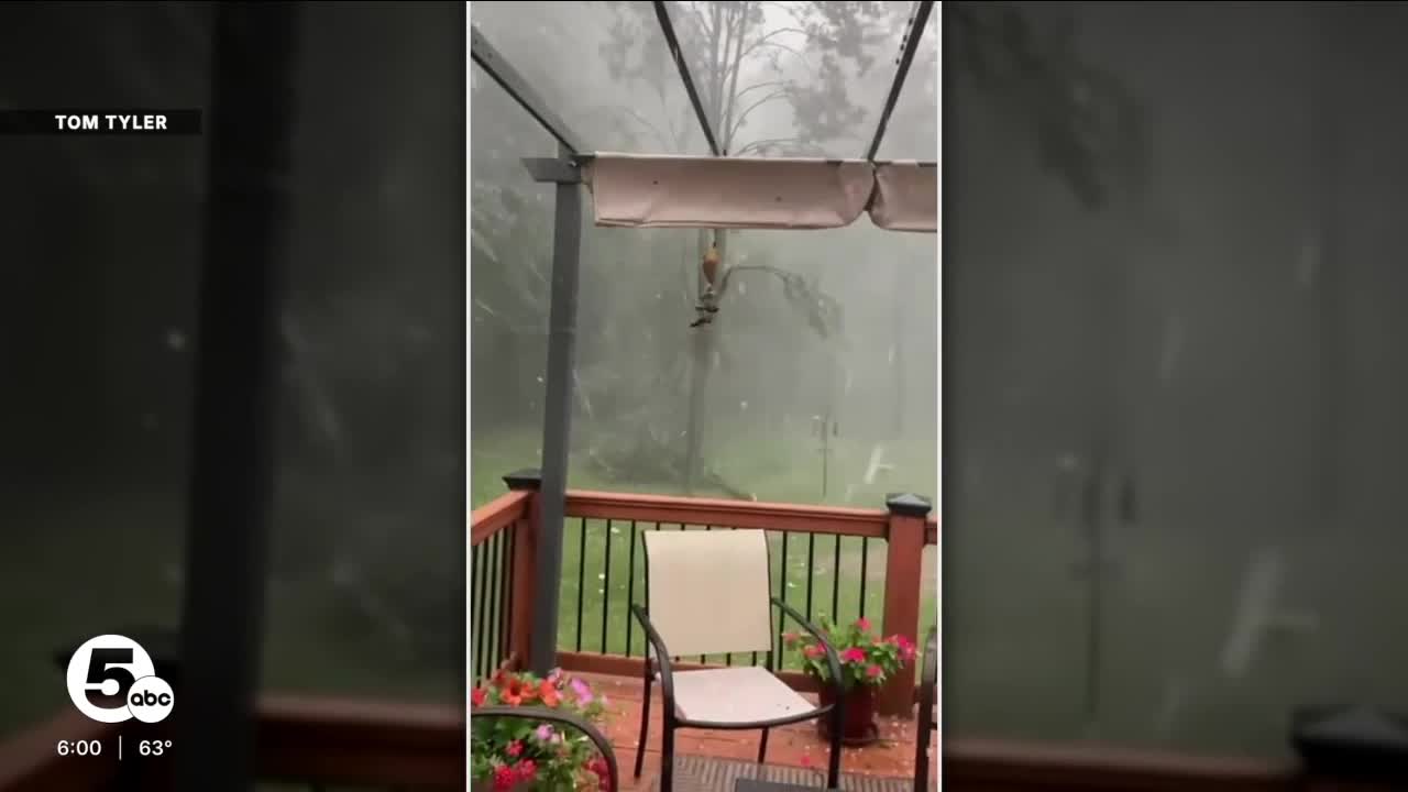


CLEVELAND — Severe storms traveled across Northeast Ohio on Sunday, leaving widespread damage in many communities.
Power of 5's Phil Sakal was live, tracking the storms as they moved through Northeast Ohio.
WATCH:
You can keep track of power outages HERE.
Storm damage from viewers:
CLICK HERE to see photos of storm damage.
What expect this week
Damaging winds and frequent lightning have been the primary concerns, along with localized flooding throughout Sunday. Temperatures topped out around 80, around midday, before the cold front moved through during the afternoon.
Severe storm timing was between 1 and 6 p.m., with our northern communities in the early afternoon and southern communities in the mid to late afternoon. The timing caused the Guardians game to be postponed to a later date.
Below-average temperatures are set to move in at the start of the new work week, with highs falling into the low to mid-70s on Monday and Tuesday. Rain chances will be minimal Monday through Wednesday.
The next increased threat for more storms returns on Thursday, as temperatures return to more seasonable levels.
DAILY FORECAST:
Sunday: Scattered rain/storms. Severe threat after noon. Warm and humid.| High: 80º
Monday: Partly cloudy. Dry and cooler.| High: 70º
Tuesday: Partly cloudy. Isolated PM t'showers possible.| High: 74º
Wednesday: Partly cloudy. Isolated t'showers possible.| High: 77º
Thursday: Scattered storms. Strong possible.| High: 81º
Juneteenth: Partly sunny. Shower possible.| High: 79º
Saturday: Partly sunny. Seasonable.| High: 83º
Want the latest Power of 5 weather team updates wherever you go? Download the News 5 App free now: Apple|Android
Click here to view our interactive radar.
Follow the News 5 Weather Team:
Trent Magill: Facebook & Twitter
Katie McGraw: Facebook & Twitter
Phil Sakal: Facebook & Twitter
Allan Nosoff: Facebook & Twitter
