


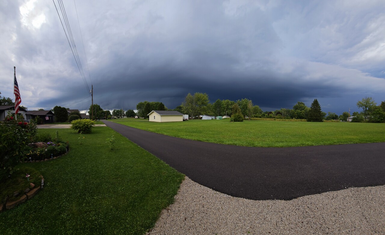
Severe storms swept across Northeast Ohio Saturday afternoon, but the warnings have mostly expired as the storm heads south and out of our area.
The News 5 weather team and the NWS confirmed a tornado touched down South of Mansfield at around 3 p.m., and severe damage was reported in Ashland County. See viewer photos and video of storm damage in Ashland County below.
A Tornado Watch was issued for all of the News 5 viewing area until 9 p.m., but it was canceled for parts of northeast Ohio around 6:15 p.m.

Flood Advisories
Flash flood warnings and advisories for counties along the lakeshore have been cancelled but the threat is still active inland. Flash flood warnings still in effect for Holmes, Stark, Tuscarawas and Carroll Counties.
Tornado Watch: Be Prepared!
Tornadoes are possible in and near the watch area. Review and discuss your emergency plans and check supplies and your safe room. Be ready to act quickly if a warning is issued or you suspect a tornado is approaching.
Tornado Warning: Take Action!
A tornado has been sighted or indicated by weather radar. There is imminent danger to life and property. Move to an interior room on the lowest floor of a sturdy building. Avoid windows. If in a mobile home, a vehicle, or outdoors, move to the closest substantial shelter and protect yourself from flying debris.
Power outages
About 5,000 FirstEnergy customers are without power in Ohio as of 9:55 p.m. Saturday, mainly in Erie County.
County outage numbers:
Erie: 4,431
Flooding:
Numerous streets and some buildings throughout the Cleveland area are reported to be flooding due to the storms.

RELATED: Over 4,500 without power in Erie County due to Saturday storms
Cuyahoga County Fair temporarily closes rides Saturday due to severe weather
Viewers have sent in photos and video of significant damage, including trees down and into houses in Ashland County:
Photos and Video:


PREVIOUS COVERAGE:
View previous coverage from the Power of 5 Weather Team:

TIMING OF STORMS: This morning's lovely weather is only a brief lull in the activity and actually helping to destabilize the atmosphere. This means we have a couple more hours to get outside. It looks like storms will start to pop up around 2 pm. The best chance for severe weather is from 2 pm to 8 pm. Scroll through the images of Futurecast to get an idea about the coverage and timing of storms. Use these images as a gauge, though, and not as the exact placement of storms at a given moment. Note that storms will fade by tonight, and clouds even look to clear overnight. Fog will be possible, but this will give us a shot to see the Perseid Meteor Shower!


ICYMI: Friday evening was also very active, with rounds of storms that continued through early on Saturday. A Tornado Warning was even issued by the National Weather Service for Lorain County around 6:20 pm and ended around 6:45 p.m. The bigger issue was the heavy rain. Below is radar estimates for rainfall over the last day. Many communities picked up 1-3'', but in Erie County, the estimate is over 5 inches!!

WAIT, WHAT ABOUT SUNDAY? I did not forget about Sunday. But it looks to be dry for most of the day. There is a slim shot of rain late in the day. This break looks to be brief because ANOTHER round of storms is expected by Monday and into Tuesday. There will be a cold front parade, making early next week not only active but cooler than normal!

Stay safe this weekend, and continue to check back for the latest information. Also, tune into News 5 this evening for more updates.
Editor's note: Some images originally in this story were sent to us on Saturday, but were actually from a storm that struck Ashland County two weeks ago. News 5 has removed these images.
Want the latest Power of 5 weather team updates wherever you go? Download the News 5 App free now: Apple|Android
Download the StormShield app for weather alerts on your iOS and Android device: Apple|Android
Click here to view our interactive radar.
Read and watch the latest Power of 5 forecast here.
Follow the News 5 Weather Team:
Mark Johnson: Facebook & Twitter
Trent Magill: Facebook & Twitter
